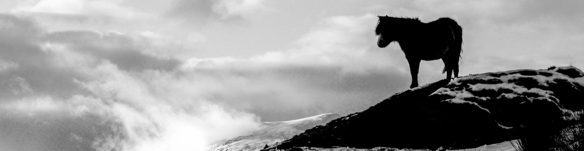
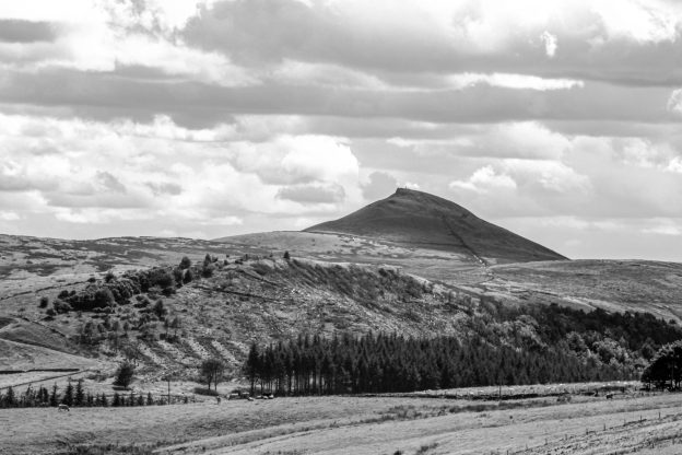
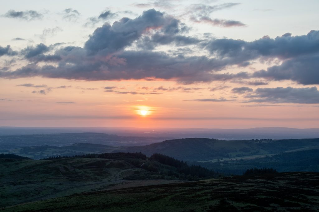
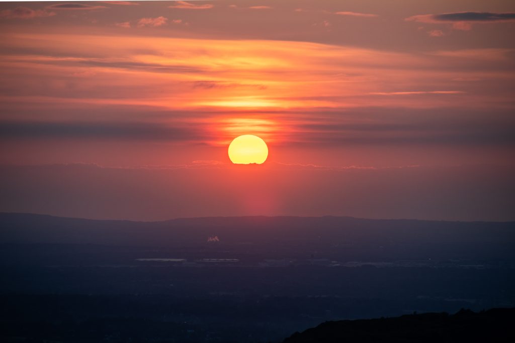
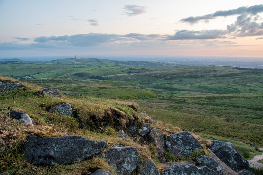
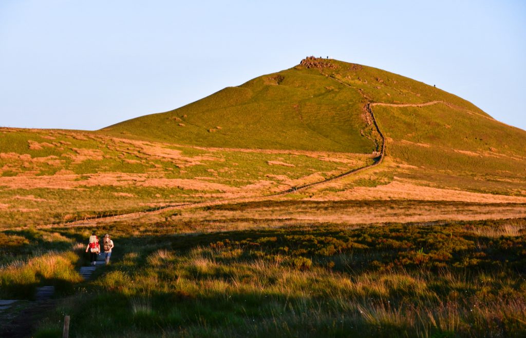
Standing proud above the regimented rows of Sitka spruce trees found in Macclesfield Forest, the craggy tor of Shutlingsloe is a well-known landmark. Clearly visible from the A537 Macclesfield to Buxton Road, the hill has become affectionately known as the “Cheshire Matterhorn” on account of having a distinctive shark’s fin profile. Although just 506m (1,660ft) in height it can claim to be the second highest hill within the post 1974 boundaries of the county of Cheshire, first place going to its near neighbour Shining Tor at 559m in height. A legacy Ordnance Survey triangulation pillar stands at the top of the hill, from where, on a clear day, seven counties can be seen: Cheshire, Staffordshire, Derbyshire, Greater Manchester, Merseyside, the Welsh county of Clwyd, and on a very clear day the Wrekin hill to the south of Telford, Shropshire can be seen. For this reason, Shutlingsloe is a popular place from which to view sunsets, particularly on the Summer Solstice.
The hill owes its prominence to the tough layers of Chatsworth Grit that form the summit crest. These coarse grained conglomerate sandstones date to the Carboniferous period of the geological timescale, some 320 million years ago. They are characterised by an abundance of embedded siliceous pebbles, some more than a centimetre in length. Surrounded by finer grained silt and mudstones, these coarse grain sandstones were better able to resist erosion when sheets of ice covered much of what we now know as the Peak District during the last glacial period.
The name Shutlingsloe derives from old English ‘Scyttel’s hlaw’ meaning ‘Scyttel’s hill.’ Who precisely Scyttel was and what he or she did to deserve having this prominent hill named after them has been lost in the mists of time. One might hazard a guess that they were of importance in the hierarchy of one of the Celtic Tribes that inhabited this region of Britain prior to the Roman invasion of 43 AD.
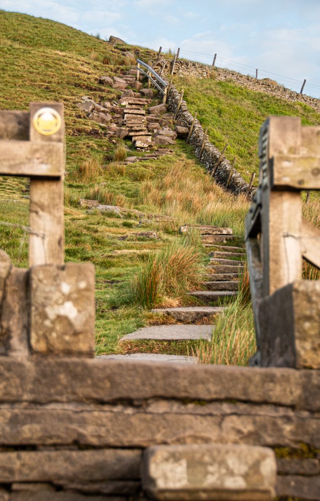
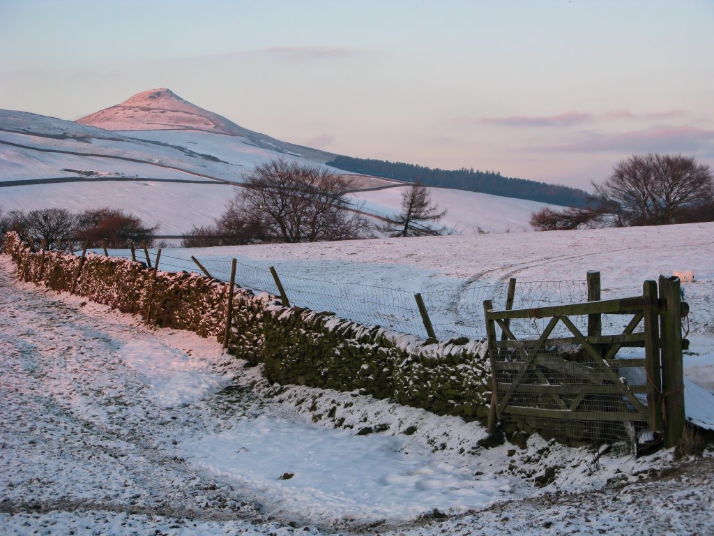
There is little to no record of archaeological evidence of human habitation having been found on or around Shutlingsloe. On the west side of the hill a dry stone wall reaches to within thirty meters of the top. On the narrow, north slope of the hill there is some evidence of quarrying on a small scale. In the eighteenth and nineteenth centuries a series of laws known as the ‘Acts of Enclosure’ saw open field systems and areas of common land transferred into private ownership and so ‘enclosed’ within walls. The quarry and the walls encircling Shutlingsloe likely date from this time. The well pathed footpath leading from the edge of Macclesfield Forest and the mosaic of stone flags around the triangulation pillar are more than likely twentieth century additions.
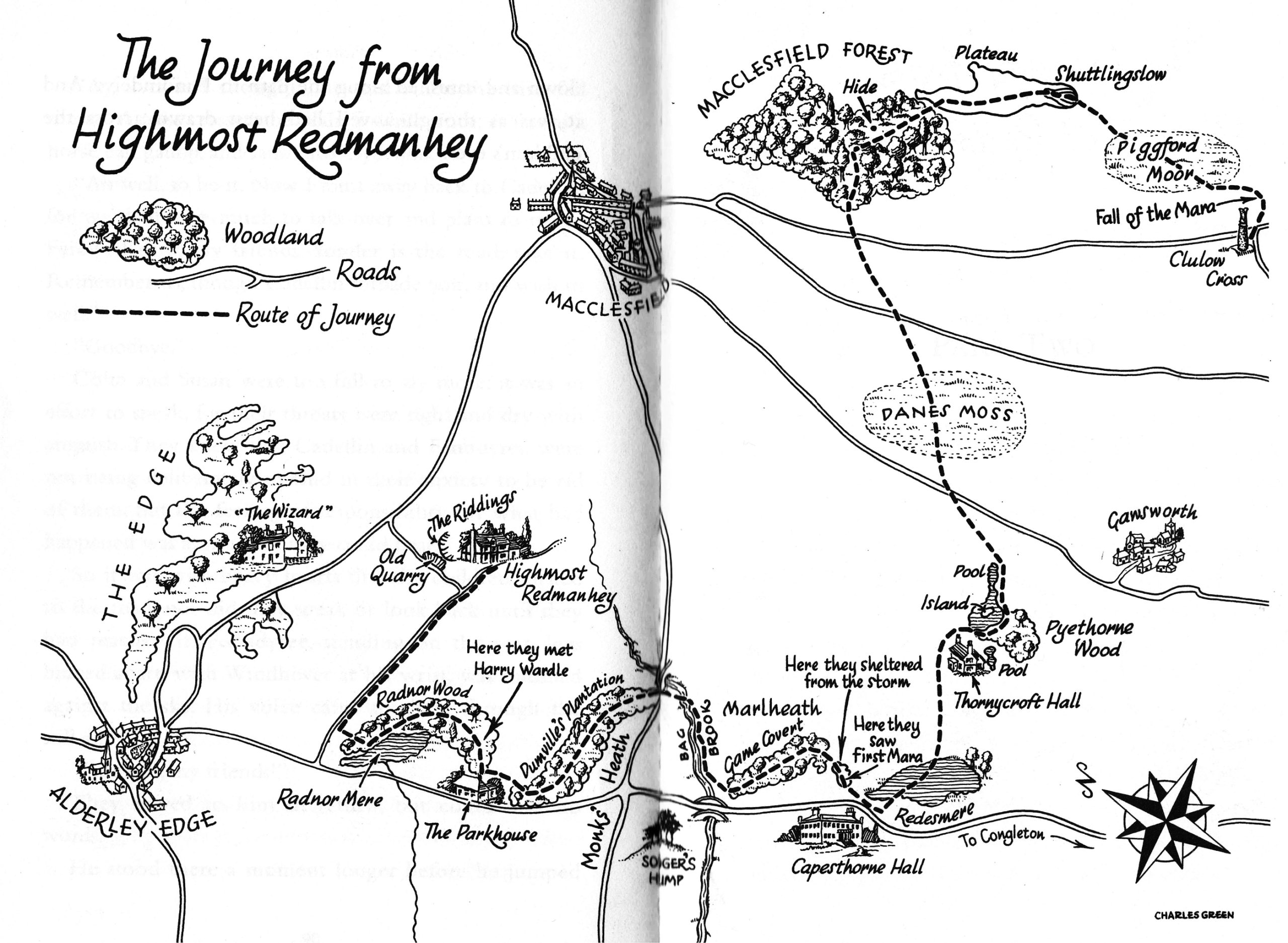
A fan of the books of Alan Garner since primary school, Shutlingsloe appeared on my literary horizon long before I ever set foot on its gritstone crags. The denouement of Alan’s first fantasy novel for children, The Weirdstone of Brisingamen, takes place atop Shutlingsloe where the evil Morrigan faces off with Cadellin Silverbrow, the wizard of Alderley Edge. This from chapter twenty:
“After a long drag uphill they came above the forest onto a bleak shelf of moorland; and out of the far side of the plateau, half a mile distant, the last two hundred feet of Shuttlingslow reared black against the paling night.”
Decades later Shutlingsloe remains a place of fascination. A tradition of mine for many years has been to walk a circuit of Macclesfield Forest on Boxing Day, Shutlingsloe being, literally, the high point of the walk. I stopped counting the number of times I have placed my hands upon the old column of white-washed concrete that marks the summit once I got into three figures.
Suggested walk from Tegg’s Nose
Distance: 18 km (11.5 miles)
Time: 5 hours
Ascent: 540m
Start/Finish: Tegg’s Nose Country Park, Macclesfield, Cheshire, SK11 0AP
GR: SJ950732
Maps: Ordnance Survey The Peak District White Peak area 1:25,000 OL24
Information: Cheshire East Council 0300 123 5500 www.cheshireeast.gov.uk
Route:
- Start at the visitor’s centre at Tegg’s Nose Country Park. From the S end of the car park, take the steeply descending path towards Clough House. Follow the track SE then E towards Hacked Way Lane and Macclesfield Forest.
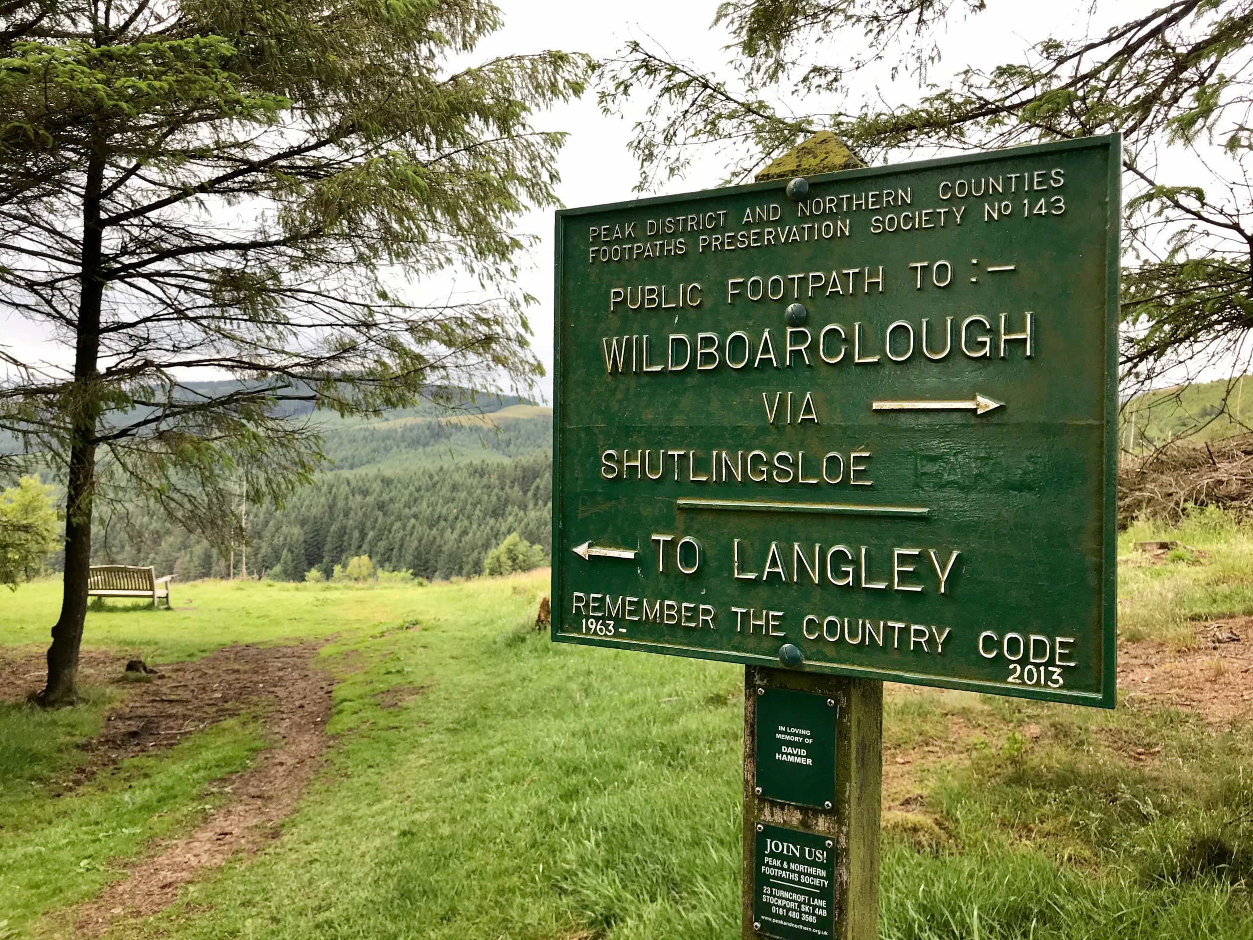
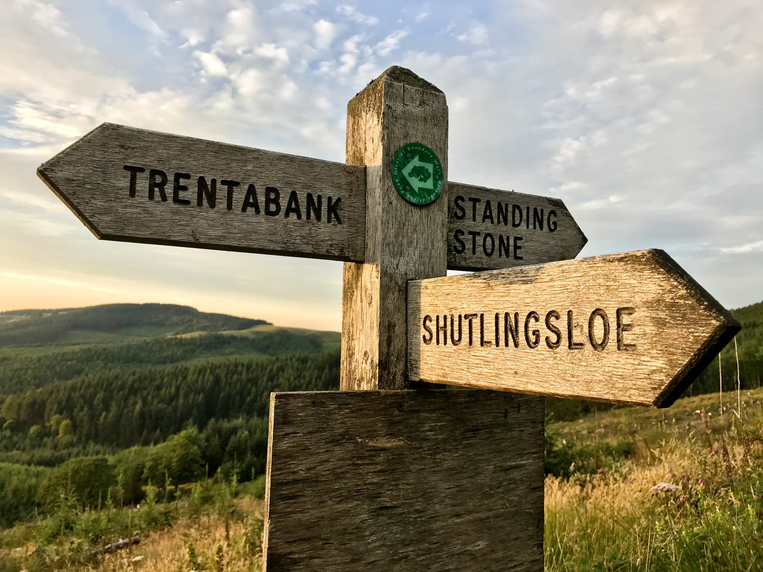
- Take the path through the forest, climbing steeply towards Forest Chapel. From the Chapel head SW along the road for 300m then again enter the forest S, after 200m taking the path to the E heading to Standing Stone car park.
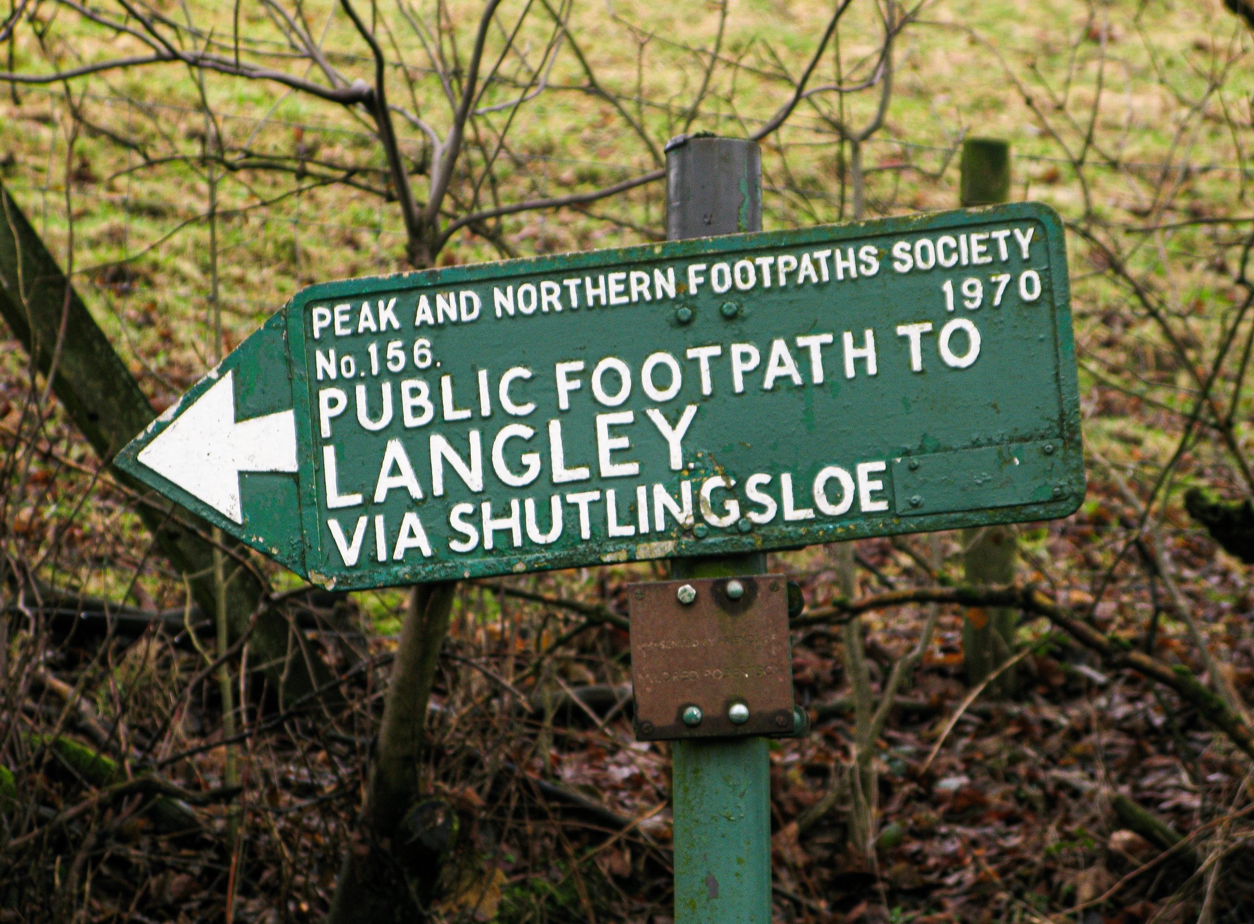
- Cross the road S and take the forest track past the abandoned buildings of Ferrier and on to the S limit of the forest where a finger post indicates towards Shutlingsloe. Follow the broad path SE climbing onto open moorland. At a gate take the path S leading towards the summit of Shutlingsloe.
- Descend on the E side steeply into Wildboarclough arriving at the centre of the village by Clough Brook and the Crag Inn. Head S along the road, ignoring the footpath on the right, and instead continue for 300m to a bend in the road by a lay-by, where a small post box marks a bridge and footpath. Cross the brook and take the path W. Beyond a small coppice either continue W to meet the road or head S to Blaze Farm to sample ice cream!
- From the road cross to the gateway of Hammerton Knowl Farm climbing towards the buildings taking the path N through the farmyard towards Hazels, where again the right-of-way is through the farmyard. Climb steeply along the farm track onto Cessbank Common until a road is reached.
- Cross the road to Withenshawe Lane NW loosing height to a footpath on the R which heads N past High Lee and eventually to the Hanging Gate Pub. From here follow the path from behind the pub, which leads to Meg Lane and the Gritstone Trail. Take the trail to the right, heading N past Bottoms Reservoir, climbing Ward’s Knob to return to the visitor’s centre via the edge of Tegg’s Nose.