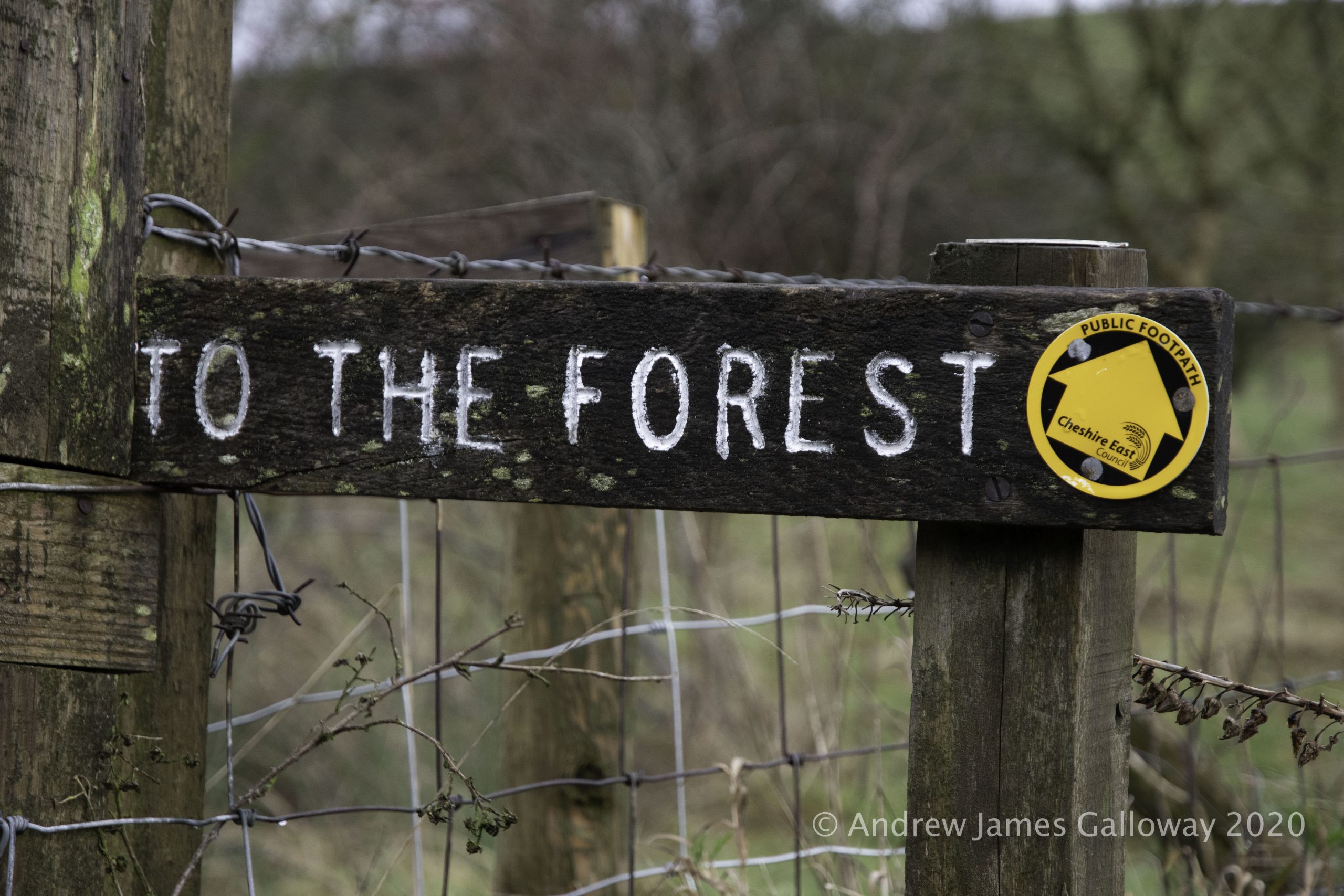
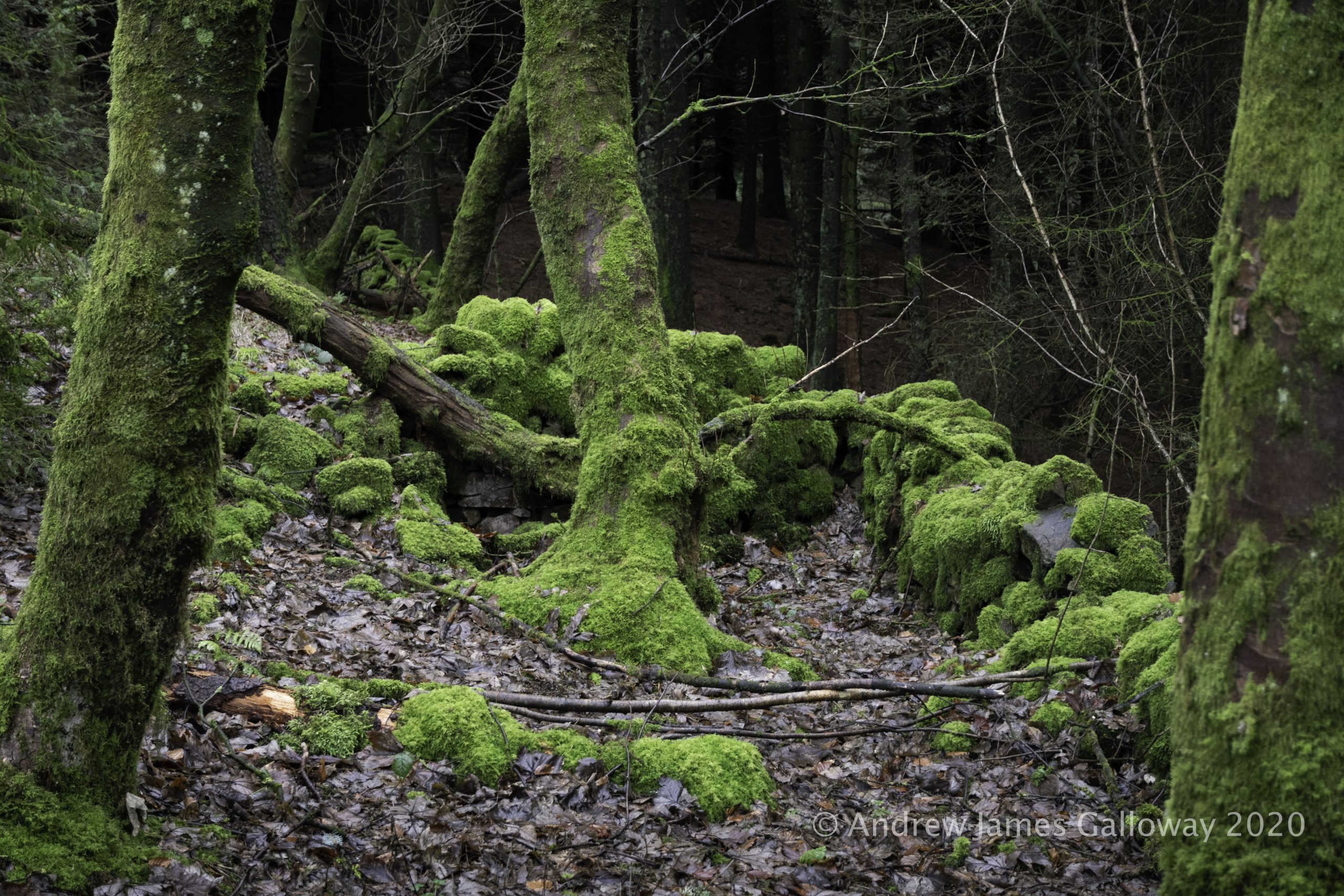
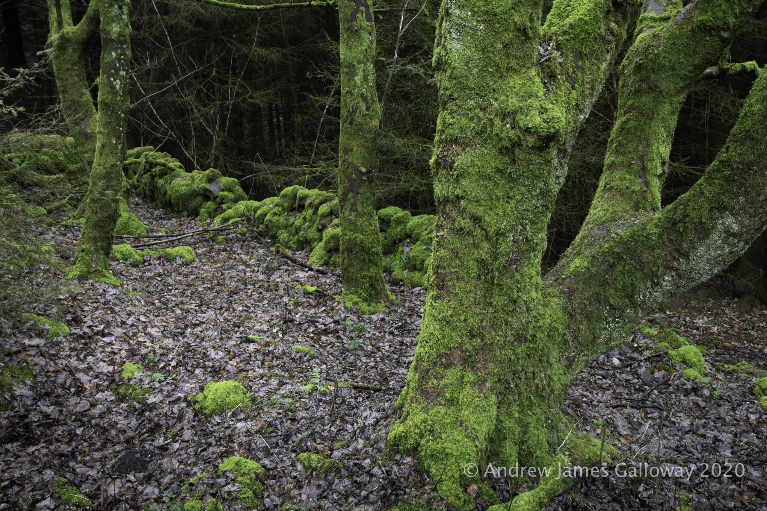
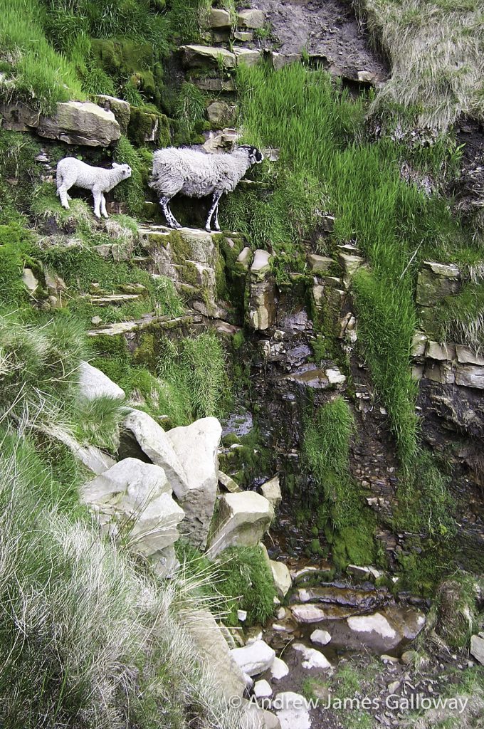
It has become something of a Boxing Day tradition to walk from Tegg’s Nose Country Park, through Macclesfield Forest, to visit St Stephen’s Church, also known as the Forest Chapel. Walking through the forest on the day after Christmas Day the traditions of centuries hang heavy in the air as the tamarisk mosses hang from the naked limbs of the trees.
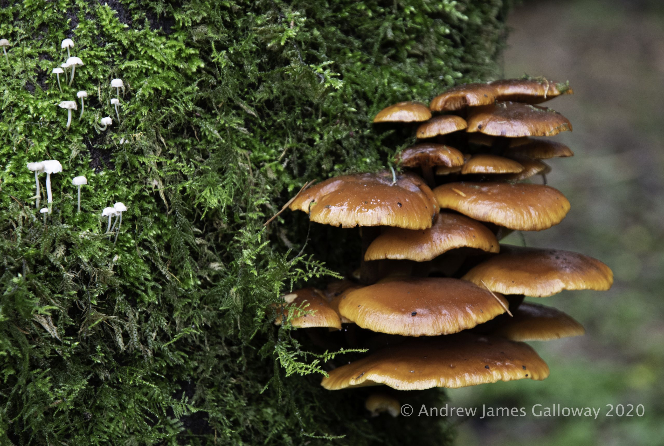
Mosses, Lichens & Fungi in the forest
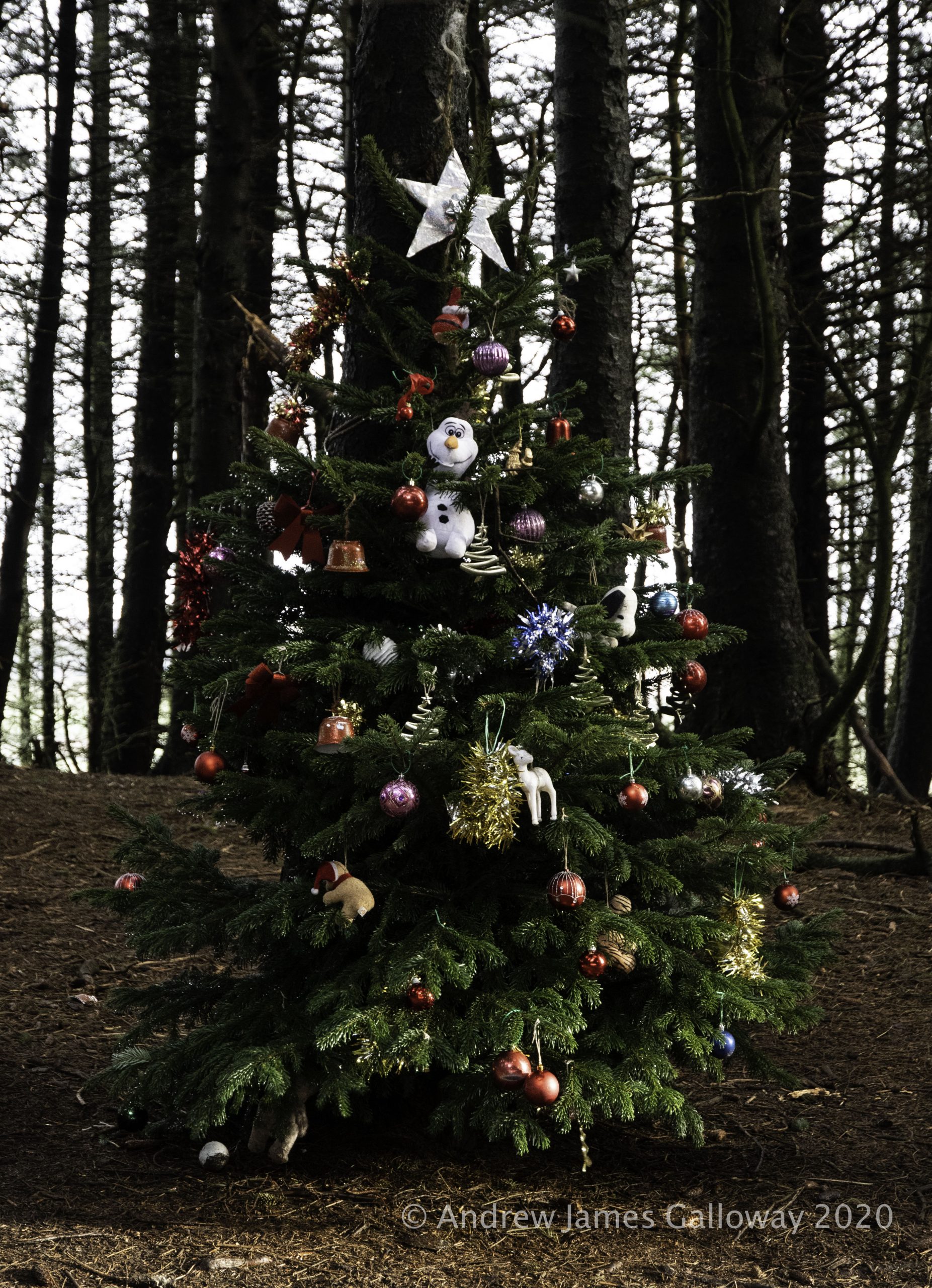
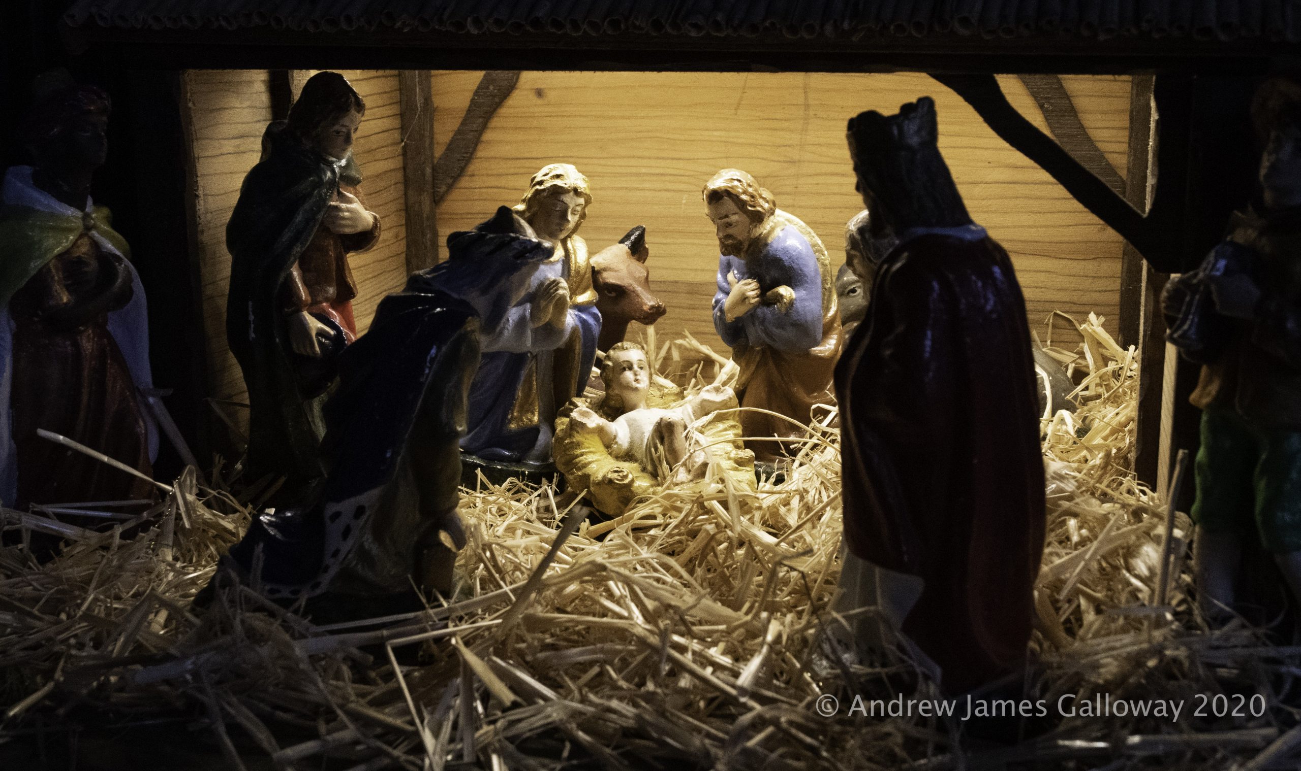
In a quiet corner of the forest, close by the Iron Age earthworks of Toot Hill, crystal clear Peak District water emerges from a spring in the forest floor. Each year at this location someone dresses a small spruce tree with Christmas decorations. A notebook protected in a small plastic container nearby contains comments of passers by and there is a little tin for donations. To whom the donations might go we can only presume as this information is not provided by the mysterious decorator of the tree. I like to think this has some connection with St Stephen’s but the genius loci of the place has more of the votive pagan tradition about it than anything related to the Christian church. I make my offering and descend Charity Lane, leaving the shadows of the forest behind me.
Christmas Tree in the forest
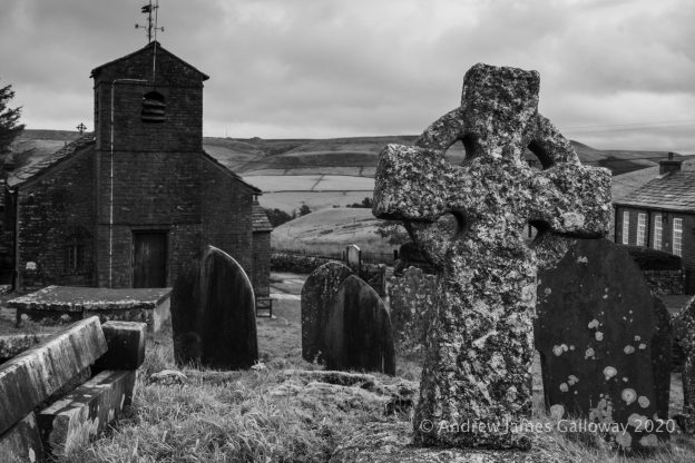
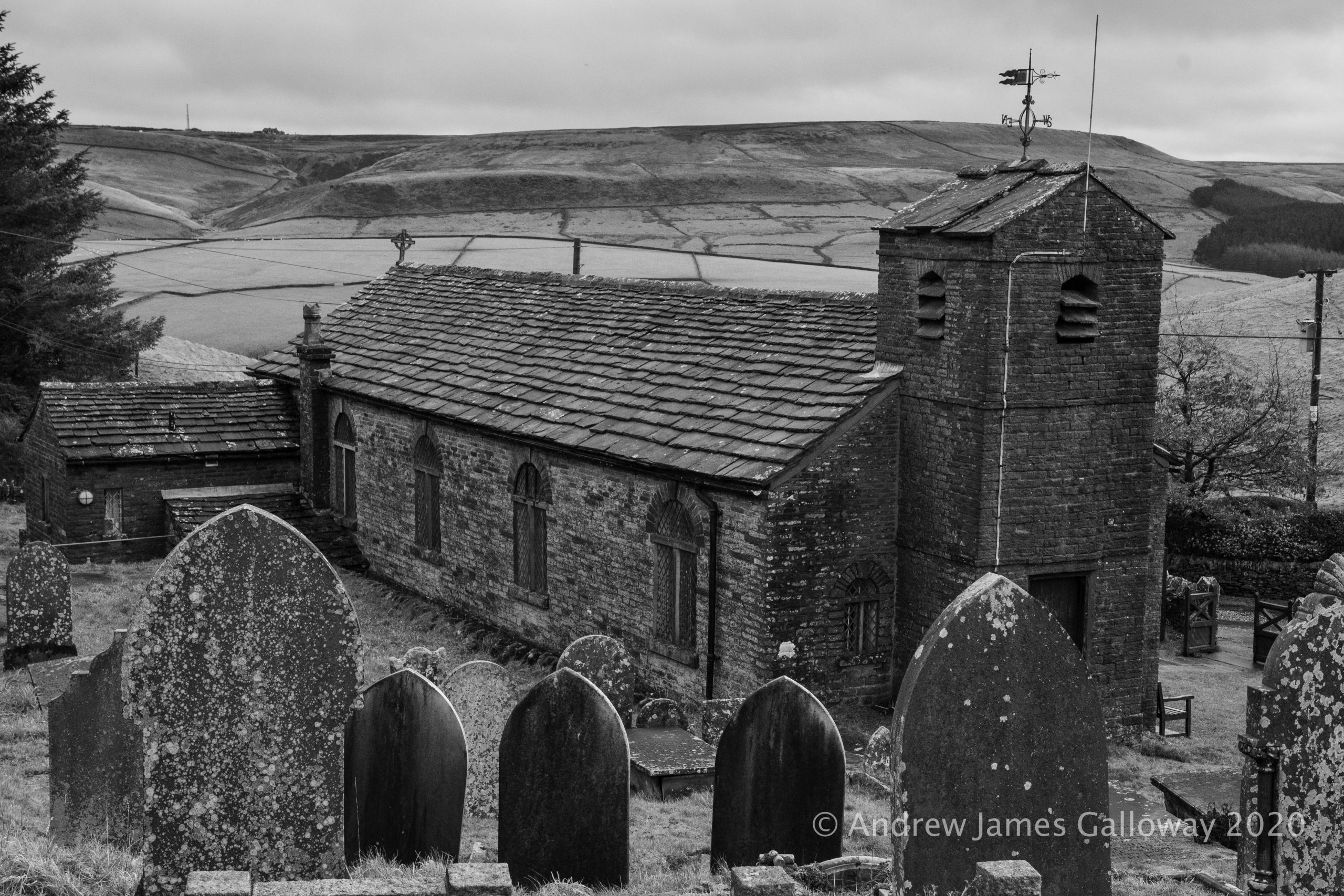
The Forest Chapel stands in a isolated depression among the northern hills of Macclesfield Forest, a stone’s throw from the curiously named Bottom-of-the-Oven.
As the dates above the gabled entrance indicate the chapel was almost entirely re-built in 1834 following a fire, but stands on the site of a former chapel of ease constructed in 1673, the stone bearing this inscription having been preserved from the original building. In about 1720 Francis Gastrell, Bishop of Chester noted that the church had not been consecrated and so was dedicated in the name of the martyr Saint Stephen.
St Stephen’s Church, The Forest Chapel
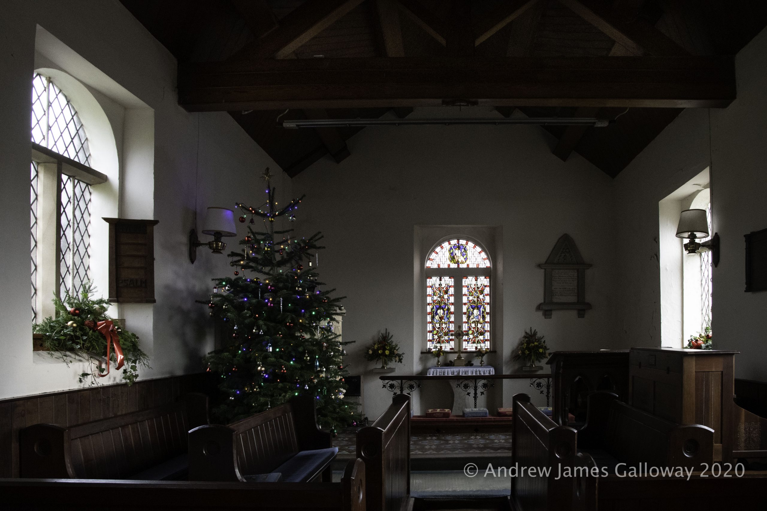
To step inside the Forest Chapel is to step backwards in time to the austere non-conformist existence of the families who eked out a harsh living from the bleak Pennine moorlands for some five hundred years since the Royal Forest of Macclesfield became common land in the 15th Century. The interior is unostentatious, the basic structure being a single rectangular room, the nave and chancel having no discernible division, covered by a simple oak-beamed vaulted ceiling. A simple stone altar set against the east wall is overlooked by a Victorian stained-glass window.
I sit for some time in the peaceful solitude of the chapel. Here too is erected a Christmas tree. In addition to the customary baubles and fairy lights the hand written prayers of visitors hang from the boughs of the tree. I pack away my flask of coffee in my rucksack and head out once again into the forest.
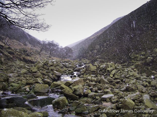
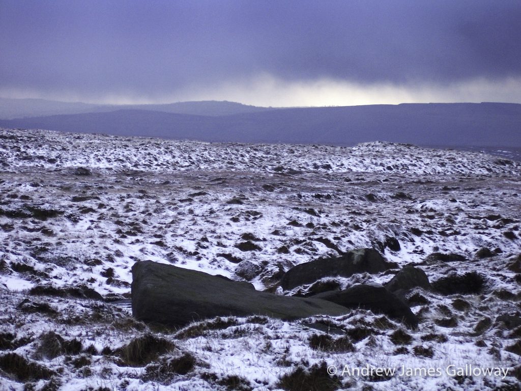
From Standing Stone car park I climb Buxtor’s Hill. A cold damp wind sweeps across Piggford Moor making the ascent of Shutlingsloe arduous. On the crest of the hill I tuck myself into the relative shelter of a fissure in the Chatsworth Gritstone and eat Stollen, thick with marzipan, which I wash down with coffee.
A fissure in the rocks on top of Shutlingsloe
Shutlingsloe is an anchor in my landscape. The little whitewashed summit monument, once of importance to the Ordnance Survey in the measurement and mapping of this anomalistic archipelago of islands we call home, is without doubt the triangulation pillar upon which I have placed my hands more than any other. Here I place my hands once again, now to steady myself against the buffeting wind.
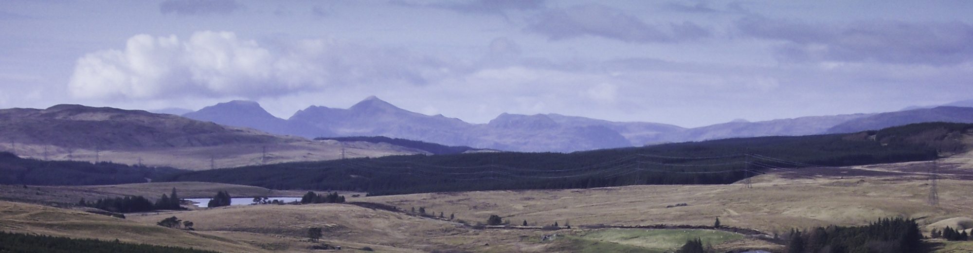
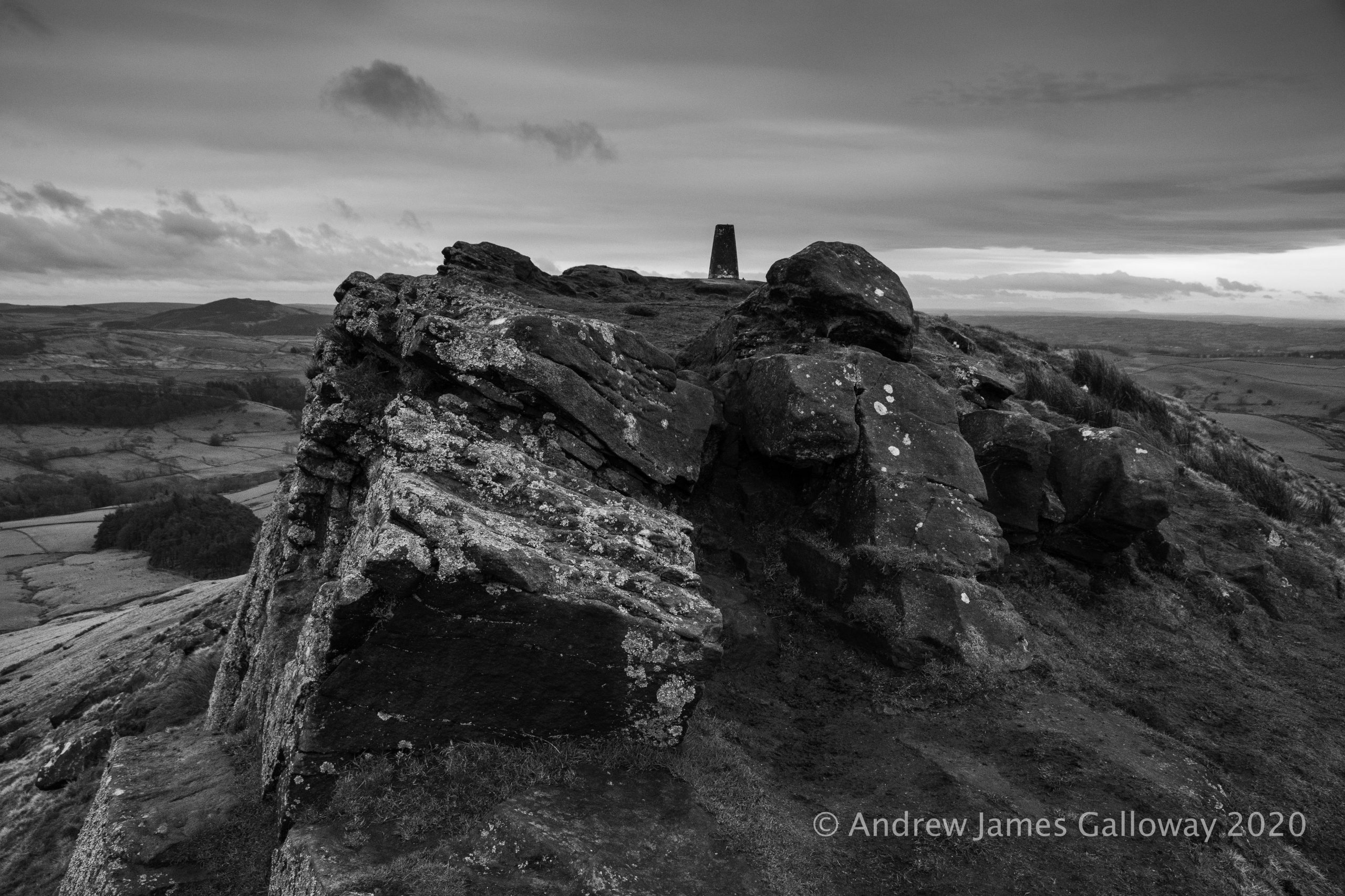
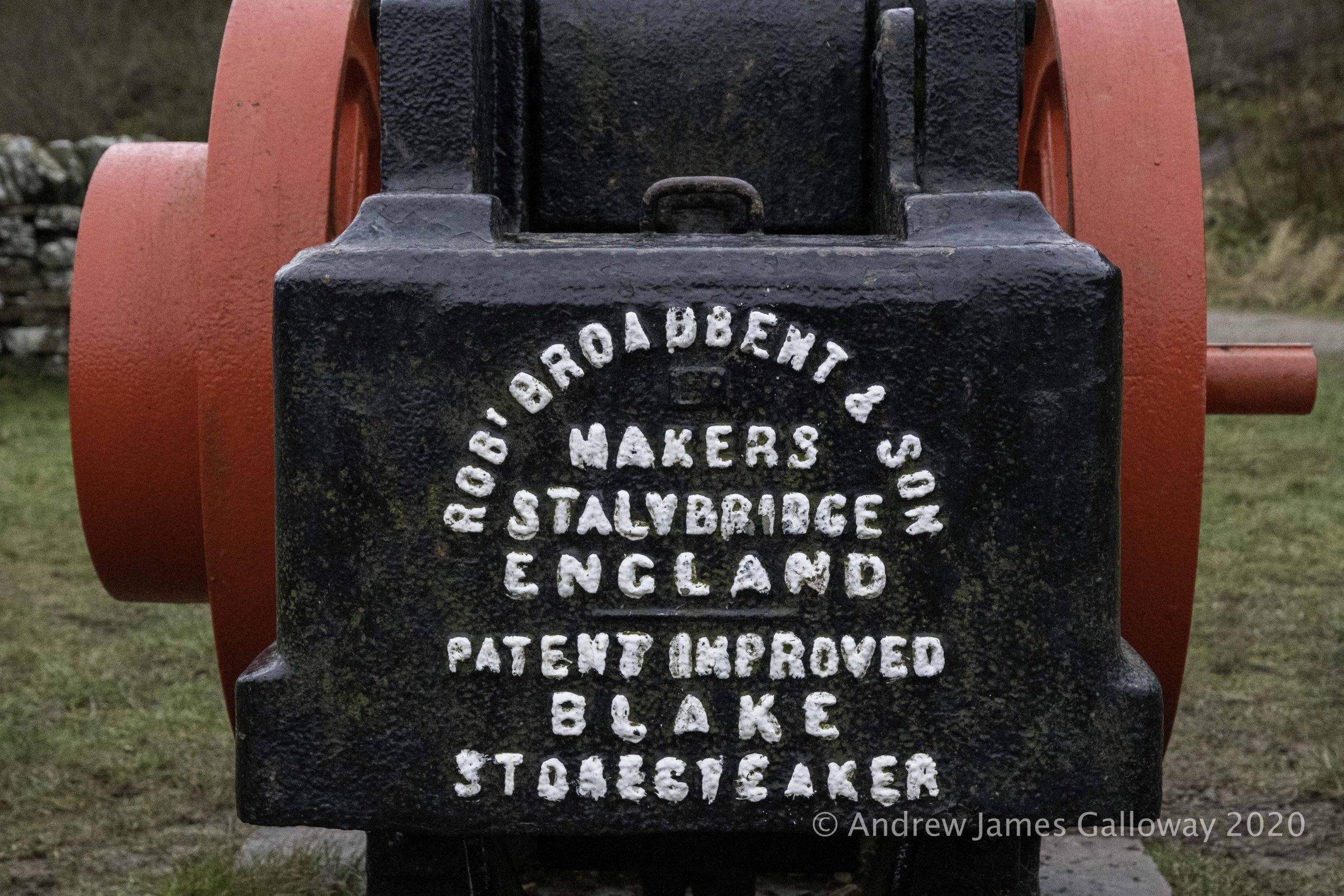
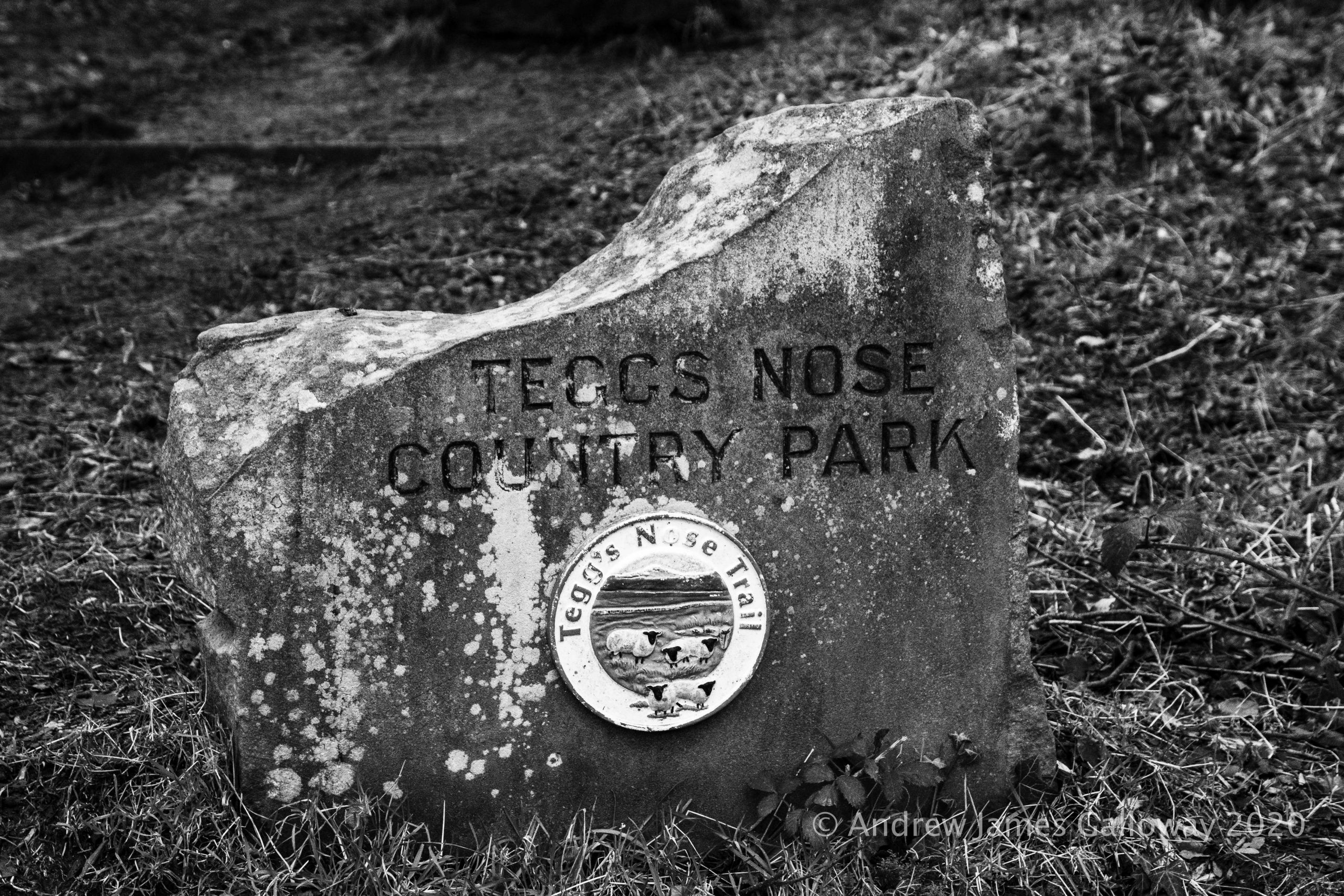
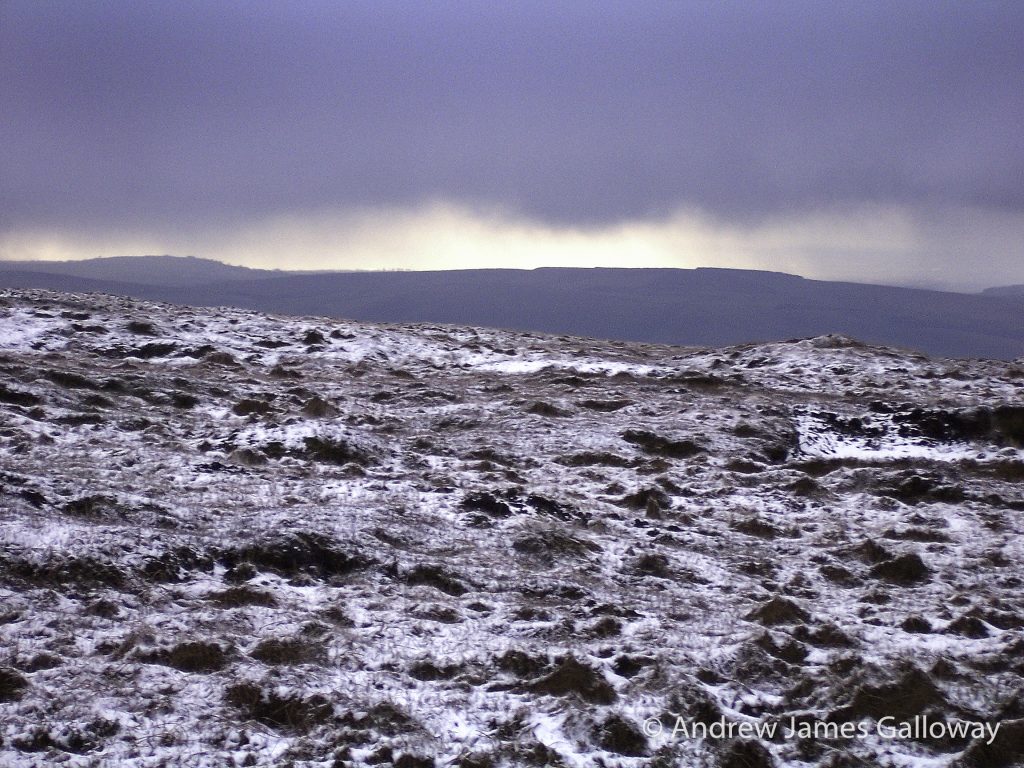
To find shelter I descend once again into the forest, pausing at Nessit Hill to admire the panorama over Trentabank and Ridgegate Reservoirs. By Bottoms Reservoir I pick up the Gritstone Trail and make the arduous ascent to the summit of Tegg’s Nose Quarry. An information board here informs me that the rocks of the quarry date from the Carboniferous geologic period and were laid down in a mighty river delta some three hundred and fifty million years ago. In comparison to this age the quarry men who split these rocks open a hundred years ago seem my contemporaries.
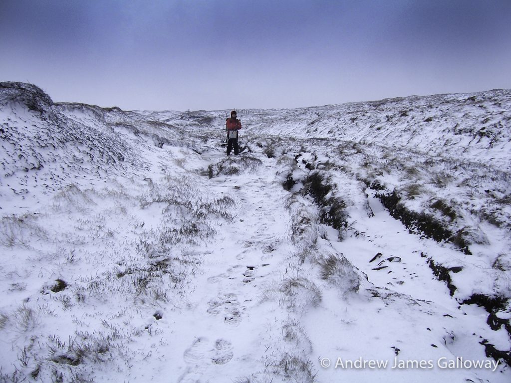
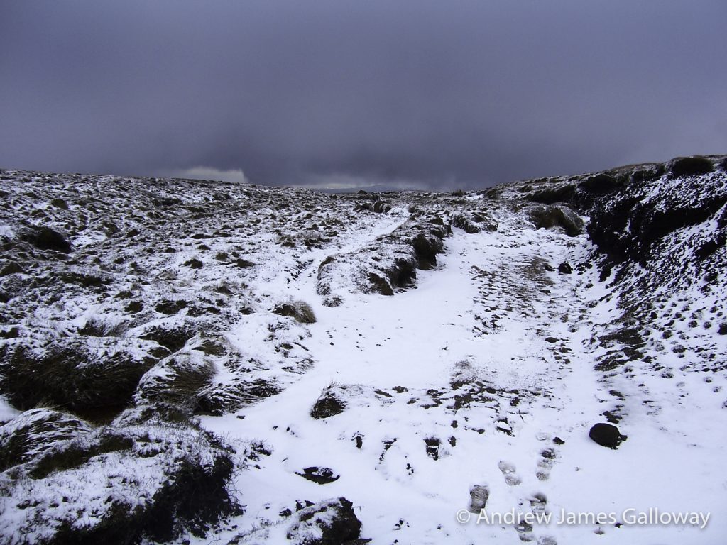
“I don’t like the look of those clouds,” said Alison, as we made our way beside Torside Clough onto the plateau expanse of Shelf Moor, an icy north-easterly wind picking up the spindrift of the overnight snowfall and whipping it against our faces. “We’ll head for the Wain Stones at Bleaklow Head,” I suggested, “we might get a little shelter there.”
“I don’t like the look of those clouds” on Bleaklow Hill
Alison’s meteorological prediction was correct. As the black clouds pressed down on the featherbed heather of Bleaklow Hill, they gave up their cargo of ice crystals in abundance. Carried along by the same northeasterly wind a wall of white soon bleached the sky and moorland of any contrast and within minutes where there had been clearly distinguishable shapes, there was only whiteout. “We best get the emergency shelter out,” I suggested. Alison, daughter of a Malpas farmer and raised to the harsh conditions of the farming calendar gave me a look far colder than the blizzard which now engulfed us. “Behind the stones will be fine,” she shouted above the now howling wind. We crouched down in the few metres of relief from the wind that the kissing gritstone gave and searched for the hot chocolate hidden somewhere in our rucksacks.
Boom! And then again, Boom!
From the south the heart stopping sound of explosion fell through the cloud with oppressive weight. “What the hell was that? It sounds like they are dropping bombs over there.” “I don’t know,” said Alison, “but I don’t think we should stick around to find out.” “It could be thunder,” I suggested, “but I’ve never heard thunder like that. And we’re at the highest point here. Not a good idea in a storm. We’d best get to lower ground.” But the Pennine Way, elusive at the best of times on Bleaklow Hill, had vanished into a chiaroscuro landscape of black peat groughs and white snowdrifts glimpsed briefly through the brief respite of the spindrift swirling around us. “We’ll have to do this on compass,” I said.
I took a bearing to the north-east and began to pace out the three-hundred metres to where, as indicated by the map, our intended path turned northwards, but the undulations of the peat groughs, the eye stinging snow and the rapidly deepening snowdrifts made the going almost impossible. The cairn that indicated the swing in the Pennine Way to the north was lost somewhere between the rough white landscape and the bleached white sky.
“I think we’re lost,” I shouted to Alison above the wind. “We can’t be,” insisted Alison.
I suggested we retrace our steps on a back bearing to Bleaklow Head, but that wasn’t going to get us off the moor, or down to lower ground. Instead we decided to head out north from our current position, the logic being that ultimately we would descend into the Woodhead Pass. Staggering north through the biting wind, we eventually reached a wire fence transecting our path, which, for no other reason than it being the only distinguishable feature since leaving the cairn at Bleaklow Head, we elected to follow it to the west, which thankfully, turned out to be a good decision as it led directly into Wildboar Grain from whence we had originally come.
Even the harshest winter will give way to snowdrops and catkin-tails, so spring once again took it’s fecund hold over the Derbyshire hills and I was keen to return to Bleaklow Hill to retrace navigationally challenging steps and to explore what I knew to be up there on the sandy soils of the gritstone plateaux and what had been eating away at my imagination since Alison and I had heard the sounds of explosion in that blizzard.
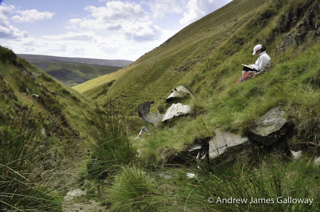
Approach to Higher Shelf Stones along Doctor’s Gate
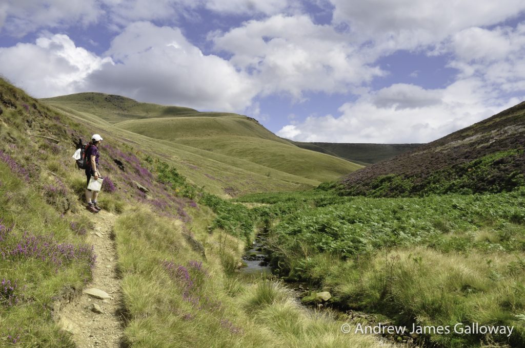
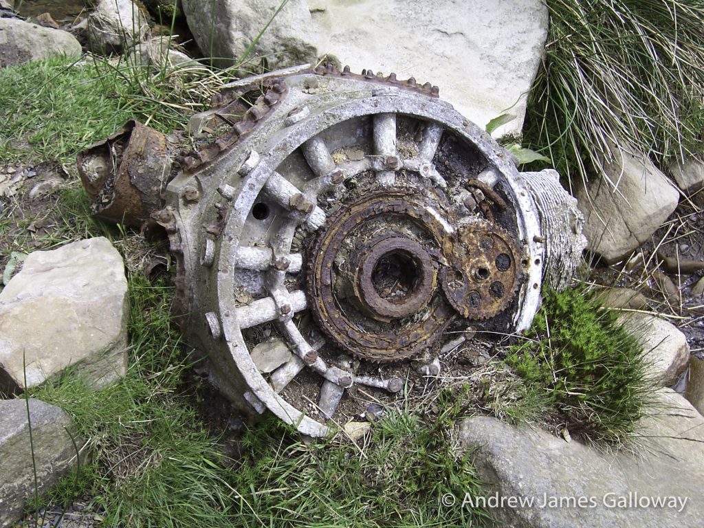
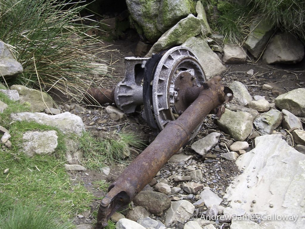
On this occasion Allison (same name, spelt with two l’s, different person) and I approached from Glossop along the course of Doctor’s Gate, the old Roman route across the Snake Pass, the precipitous cloughs sweeping down from the high moorland making one of the most dramatic landscapes in the Dark Peak. The magnificent re-entrants slicing through the Namurian millstone grit proved too tempting and so we crossed Shelf Brook and began to scramble up Ashton Clough. We had not climbed far when we stumbled upon the first evidence of what I had been expecting to find. A hunk of silver metal, possibly some type of steel, about a metre in diameter and very badly weathered was sitting in the centre of the small stream that falls from Ashton Clough, its once moving parts petrified by decades of rust.
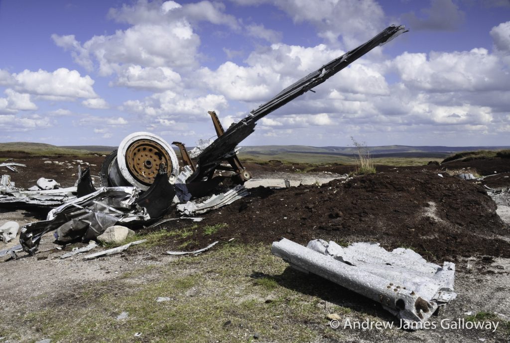
Sure enough, another fifty metres higher, now half buried by soil, we found what was still just discernable as the fuselage of an aircraft. The skeleton of this airframe was thin and flimsy, constructed of aluminium alloy. This cocoon like relic was the remains of a C-47 Dakota aircraft operated by the 314thTroop Carrier Group, which crashed on 24thJuly 1945 on Shelf Moor. Over the course of seventy years parts of the aircraft, including this section of the rear fuselage, have been moved down slope into Ashton Clough. Alan L. Clark, author of a walkers guide to aircraft wrecks in the British Isles, reports that the aircraft was on a transport sortie from Poix, near Amiens, northern France to Renfrew (now Glasgow airport) but failed to arrive at destination. All five crewmembers and two passenger were killed. The official USAAF report on the accident blamed low cloud.
USAAF C-47 Dakota crash site at the top of Ashton Clough
At its steepest point, in situ gritstone causing the little stream of water to tumble in pleasant cascade, Ashton Clough suddenly pops out onto Shelf Moor below James’s Thorn and the full unsheltered expanse of the Bleaklow plateau becomes visible (in good weather that is). Allison wishing to practice some navigation skills suggested we ‘leap-frogged’ our way over to the trig-point at Higher Shelf Stones. The navigation technique of ‘leap-frogging’ can be used in restricted visibility, such as in low cloud or at night whereby two or more people can use each other as reference points from which to correct a directional bearing.
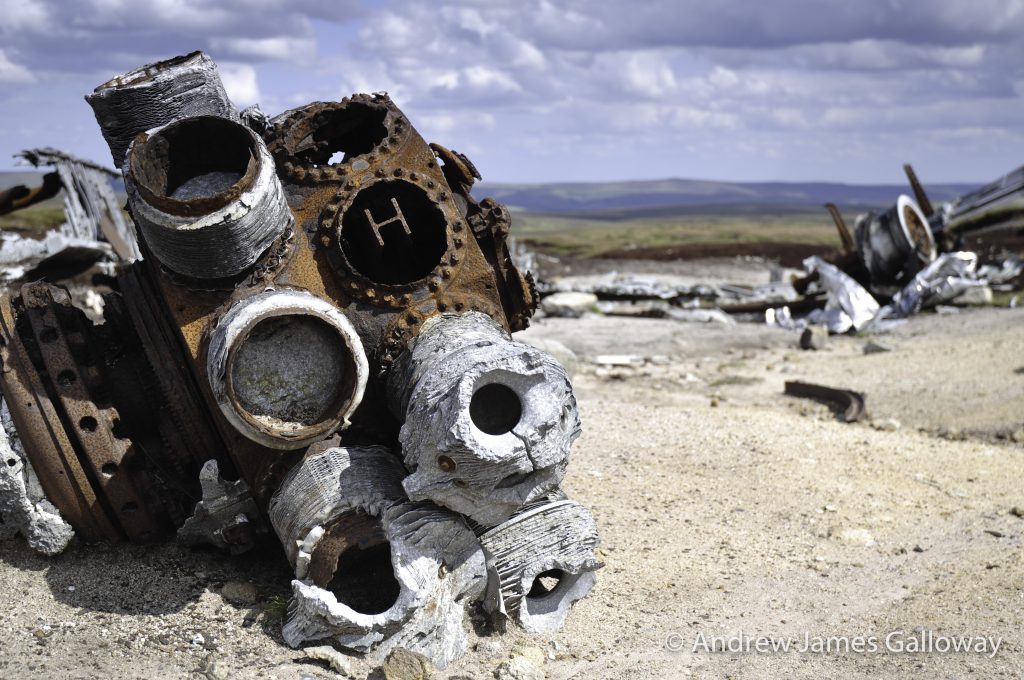
Just a few hundred metres north of the trig-point we found the first piece of twisted aluminium lying against the black peat, shining in the sun as if it were newly cast, while in fact it had lain here, high upon the moor, for seventy years.
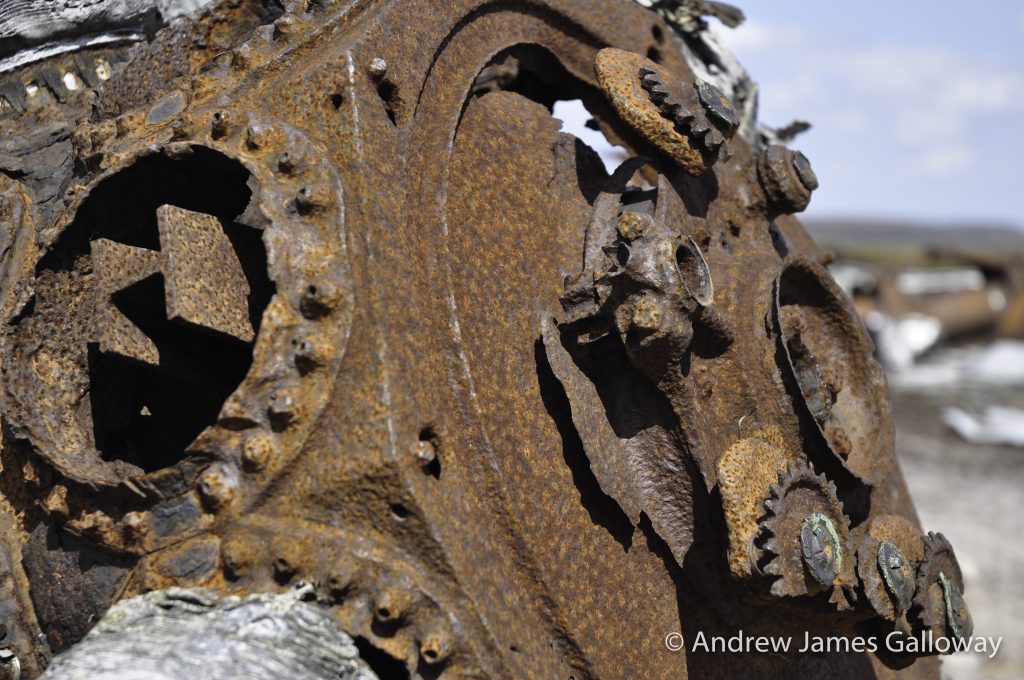
It can take a little while to orientate yourself over the expanse of wreckage spread out over a hundred square metres, but eventually the fragments of an aeroplane begin to knit together to form a whole: engines first, four of them, then undercarriage, wings, tail-plane, and then you think of the crew. This USAF Boeing RB-29 known as “over-exposed” on 3rd November 1948 was taking payroll and mail from Scampton in Lincolnshire to Burtonwood near Warrington, once one of the largest USAF supply bases in the UK. Due to poor weather conditions the flight was being conducted on instruments, the pilots effectively flying blind. It is thought that due to a navigational error the captain understood his position to be further to the west than it actually was and began to descend on the approach into Burtonwood too early, with disastrous consequences. All thirteen crewmembers were killed.
It is perhaps difficult to imagine in todays age of computer assisted flight and instrumental landing systems, but the vast majority of wartime aircraft did not carry on-board radar and did not have pressurised cabins. This meant high altitude flight was often not an option and that navigation in poor visibility could only be achieved by a process using compass bearing, airspeed indicator and stopwatch, a type of aeronautical Naismith’s Rule. As a consequence, errors were common. The high ground of Britain, in particular the Peak District is littered with such tragic sites.
USAF Boeing RB-29 “over-exposed” crash site on Higher Shelf Stones
Unsurprisingly, a modern mythology has grown up around the area. There are tales of phantom aeroplanes and ghostly apparitions. Gerald Scarratt of Longdendale, whilst exploring the RB-29 crash site discovered what he thought to be a washer, but on later inspection found to the gold ring belonging to the aircraft’s captain Langdon P. Tanner. Returning to the site with a group of aircraft enthusiasts, Gerald was recounting his tale when his companions turned ashen faced and began to walk away from the site. They later claimed to have seen a pilot in full post-war flying gear standing behind Gerald, although Gerald himself remembers seeing nothing of the sort.
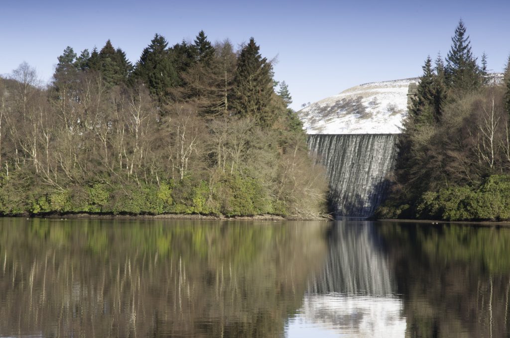
The reservoir cascade of Howden, Derwent and Ladybower were famously used during the second world war as practice locations for the attack on the dams of the Ruhr Valley in western Germany by the specially adapted Lancaster bombers of the 617 Squadron, now more commonly known as the Dambusters. Something has undoubtedly become lodged in the collective unconscious and folk memory of that part of the Peak District. Urban myths of plane crashes and ghost aircraft about.
Howden Dam, Upper Derwent Valley
Dr. David Clarke of Sheffield Hallam University has recorded the tale of how on 24thMarch 1997, police in the Dark Peak area received calls from various members of the public, including a special constable and two gamekeepers, claiming to have witnessed an aircraft crashing into the moors above Howden Reservoir. Taking the calls seriously, the police alerted the local Mountain Rescue Team, but despite a widespread search, no evidence of any crash could be found.
And what of my own experience? The sound of explosion heard by Alison and myself above the wind at the Wain Stones on that icy cold day. Of course, it could have simply been thunder (but it didn’t sound like thunder) or some other meteorological phenomenon. Or perhaps we heard the sound, somehow transmitted across the decades, of that fateful accident in 1948 when thirteen young airmen lost their lives.
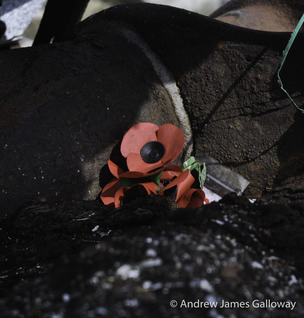
On Higher Shelf Stones, the sense of pathos is tangible. Here and there people have placed small wooden crosses and silk poppies, which stand out white and red against the silver-grey of the weathered wreckage and the monochrome pallet of the exposed peat hags, a reminder of the young men who’s sense of duty led them to a cold, windswept moorland in an unfamiliar country.