Tag Archives: Pym Chair

Rainow Parish Four Churches Walk

Whit Walks

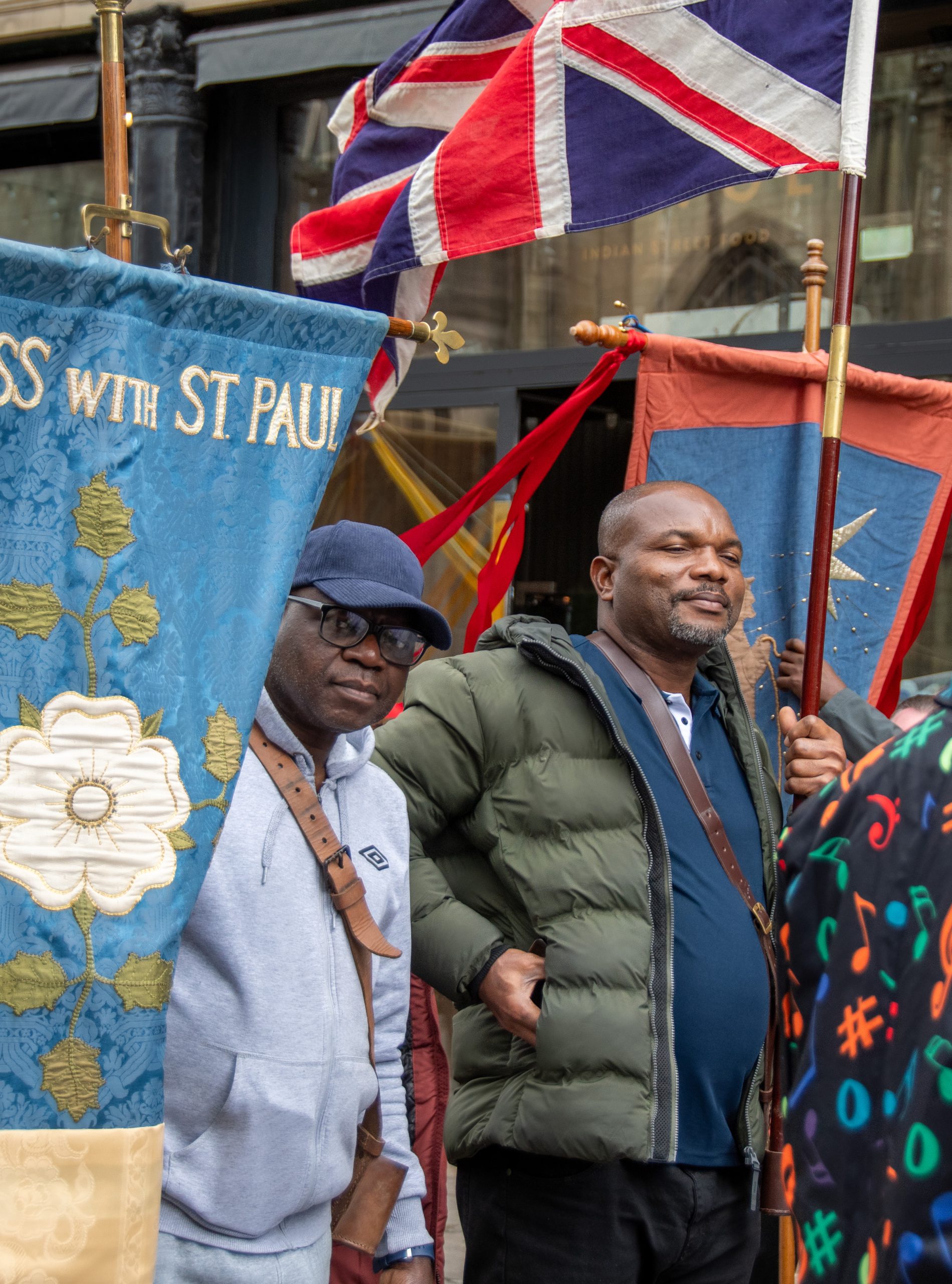
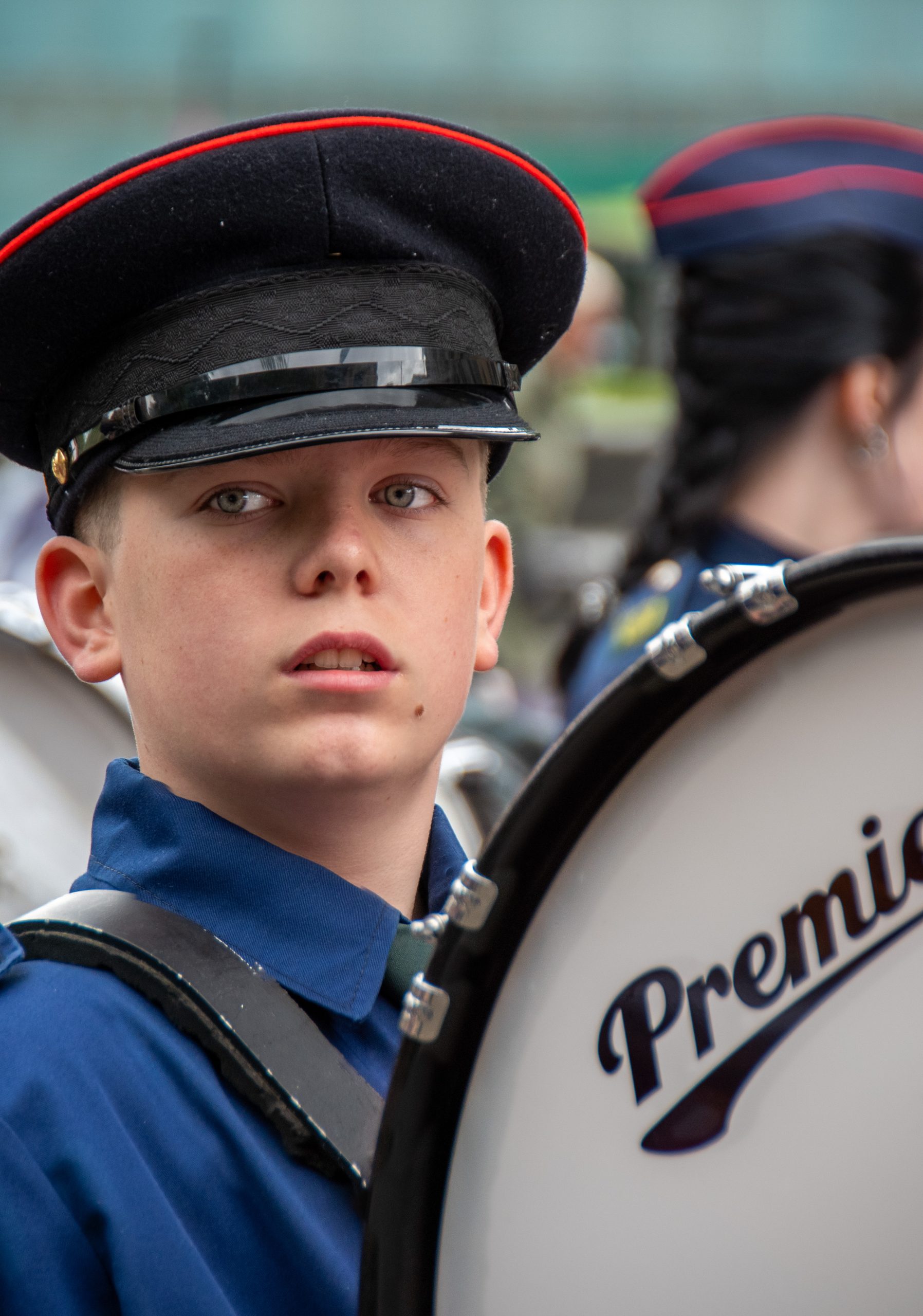
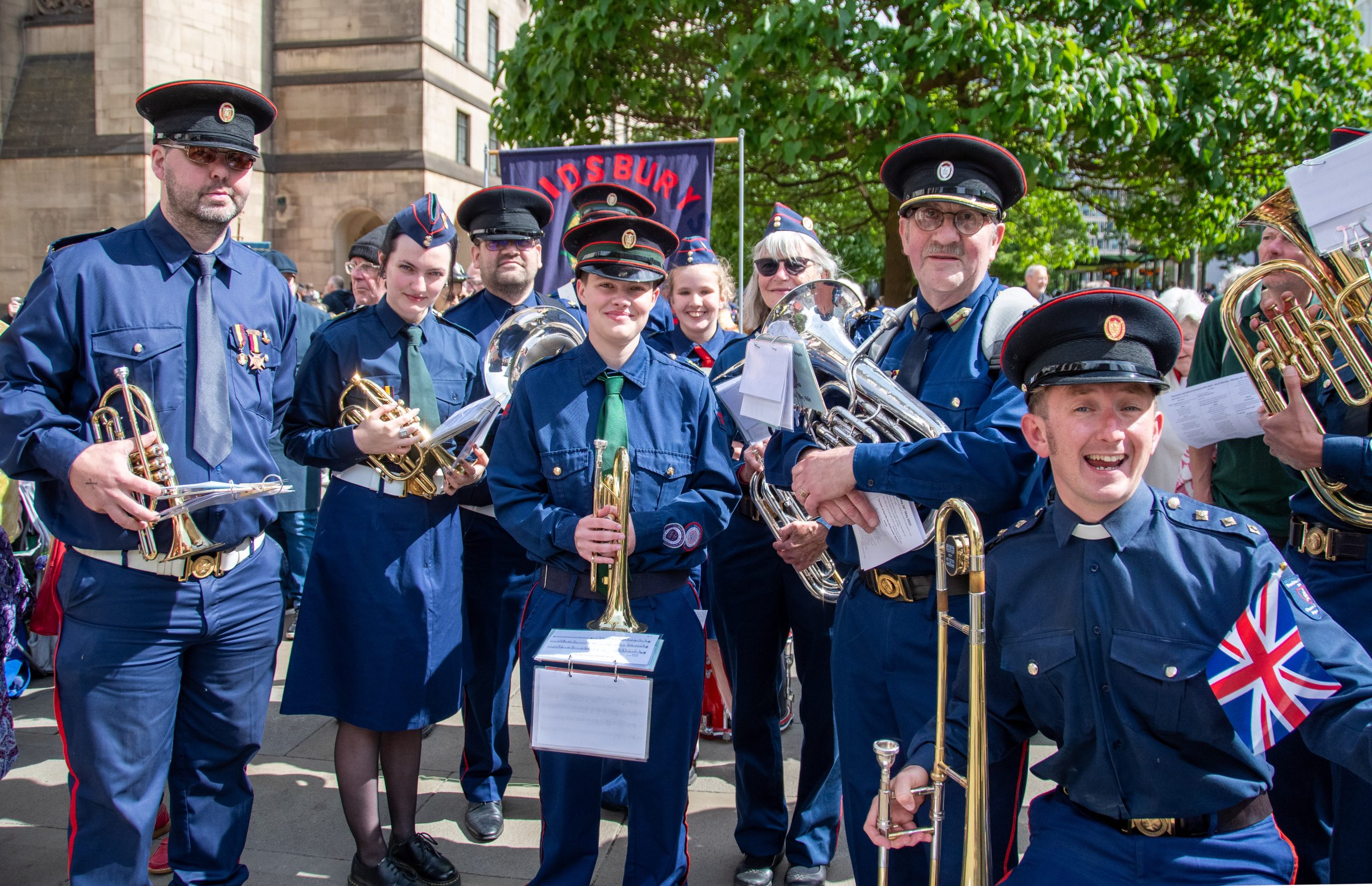
The season of Pentecost in the Anglican tradition is often associated with walking. Several villages to the east of Oldham in Greater Manchester hold “Whit Walks” also known as walks of witness. The walks are traditionally held on “Whit Friday” the first Friday after Pentecost Sunday, the day on which the Church celebrates the descent of the Holy Spirit upon the Apostles as described in Chapter 2 of the New Testament book known as Acts of the Apostles. The Manchester and Salford Whit Walk, organised by a consortium of churches in Greater Manchester, takes place annually on the second bank holiday Monday in May. 
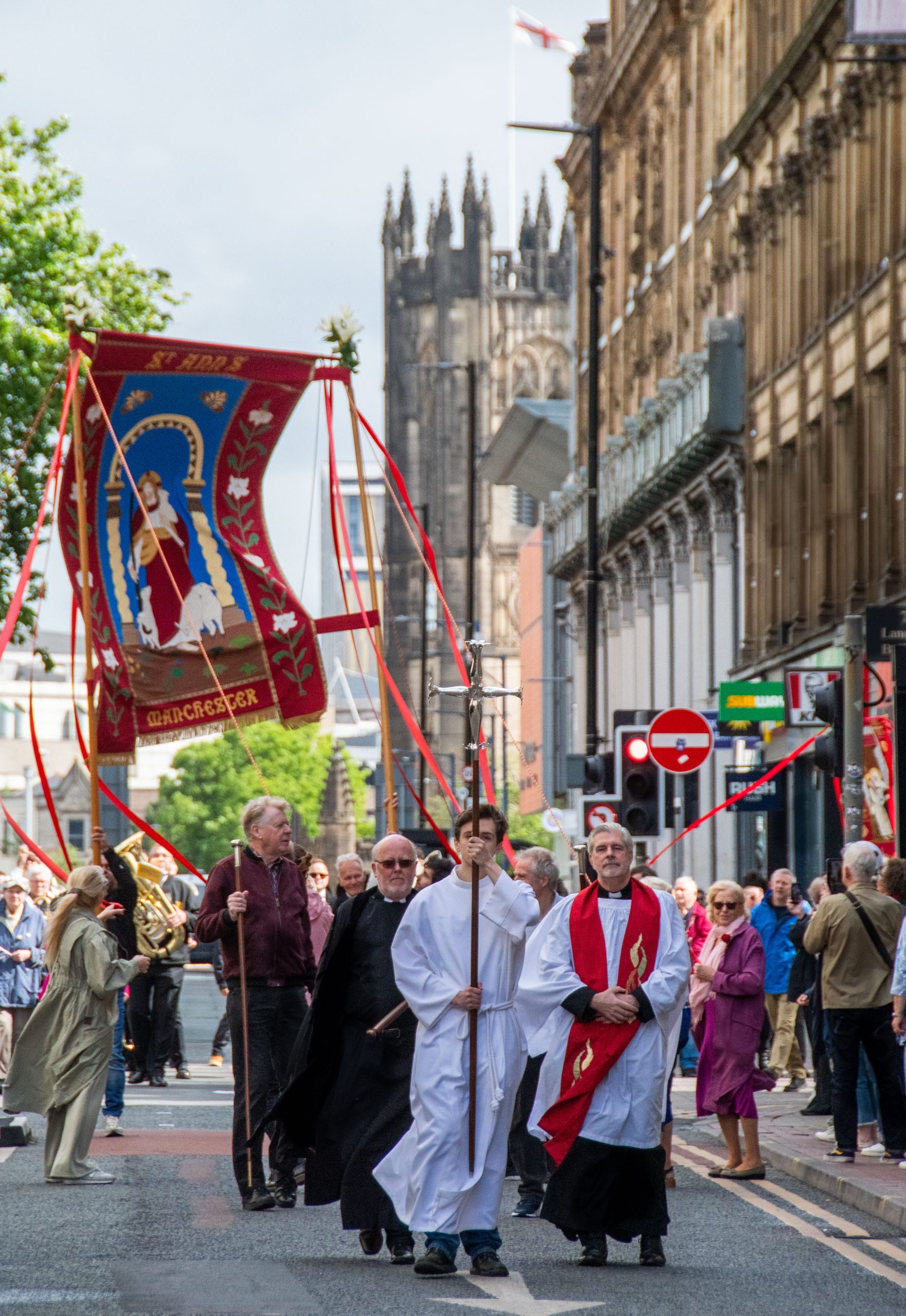
The Parish of Rainow with Saltersford and Forest to the east of Macclesfield in Cheshire annually hold a Four Churches walk, linking the three churches within the parish with the church of St Paul’s in Macclesfield. The walk has its origins in Rogation Sunday, traditionally the fifth Sunday after Easter, when members of the church would pray for God’s blessing upon the land. In pre-industrial rural  Britain a good harvest was vital for the welfare of the community. In modern times the link between welfare and the land has been, mostly, lost; some would say to the detriment of all concerned.

The traditional Rogation Sunday service would begin with the blessing of a plough and a lamb. Clergy an parishioners would then together walk the boundaries of the parish, a tradition known as ‘beating the bounds.’ The Rev Simon Gowler, vicar of Holy Trinity Church, Rainow, explained how as a result of recent amalgamations the circumference of the combined parishes has become too great to consider walking in a single day. For this reason the walk has become the ‘four churches’ walk. Rev Gowler has been responsible for the reintroduction of the blessing of the plough and the lamb in a slightly more modern context. 

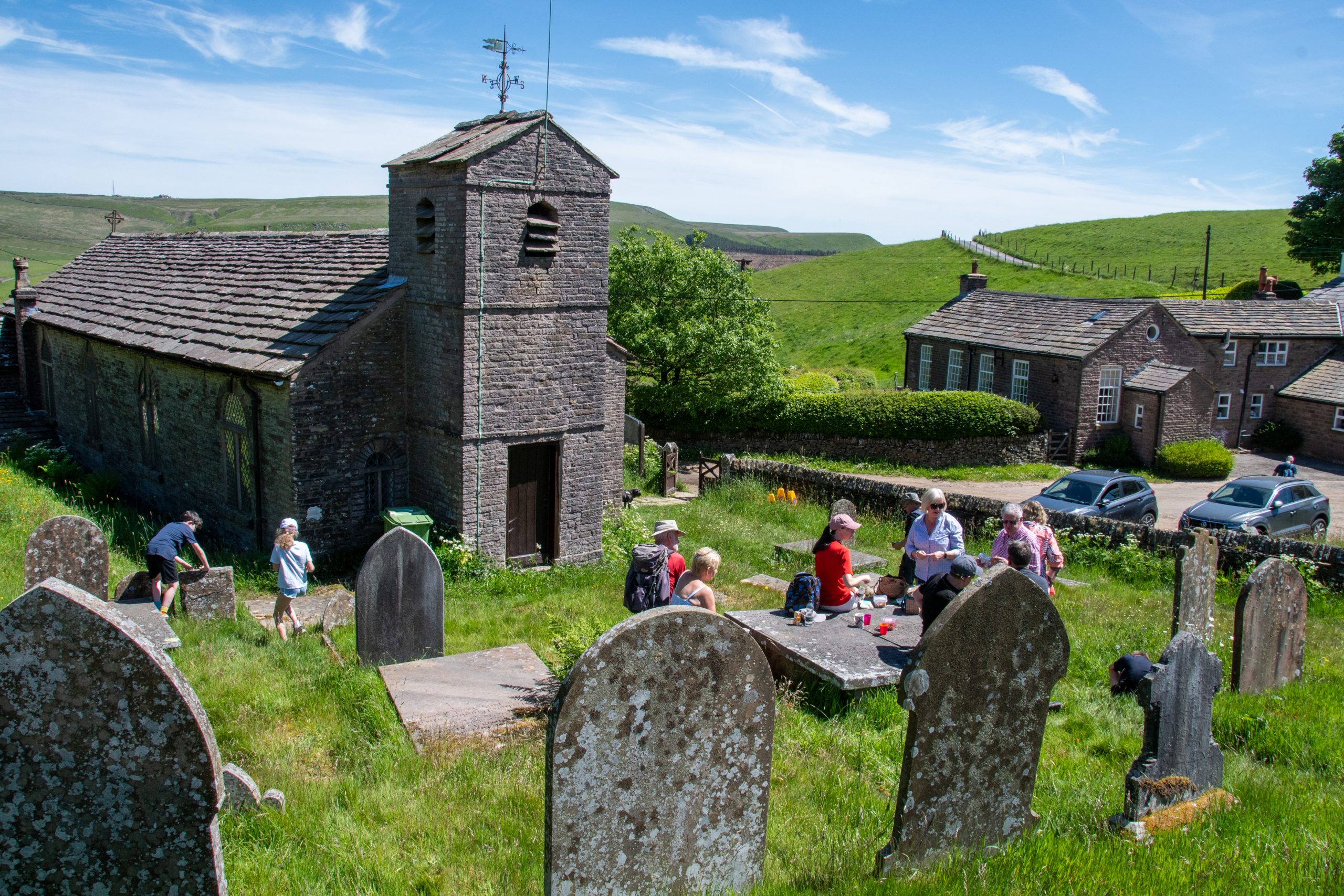
So it was that on a bright May morning I joined Rev Simon and some of the parishioners for the annual Four Churches Walk. 

St John the Baptist “Jenkin Chapel” 

Situated at the junction of three old “salters’ ways” the little church of St John the Baptist, Saltersford was built by the local community in 1733 from local sandstone. The exterior of the two storey nave bears closer resemblance to a farmhouse than a traditional church, as was commonly found in non-conformist chapels of the region of a similar age, such as Brook Street chapel in Knutsford. A three storey tower with a single bell and pitched roof was added in 1755. Before the advent of canals and railways, salters’ ways were used to transport salt, a valuable commodity since Roman times, from Cheshire to Derbyshire by packhorse. As long as anyone can remember the church has been informally known as Jenkin Chapel, possibly named after one of the salt men who brought their packhorses this way. The gallery at the west end of the nave bears the coat of arms of the Stopford family, once residents of Saltersford Hall. 
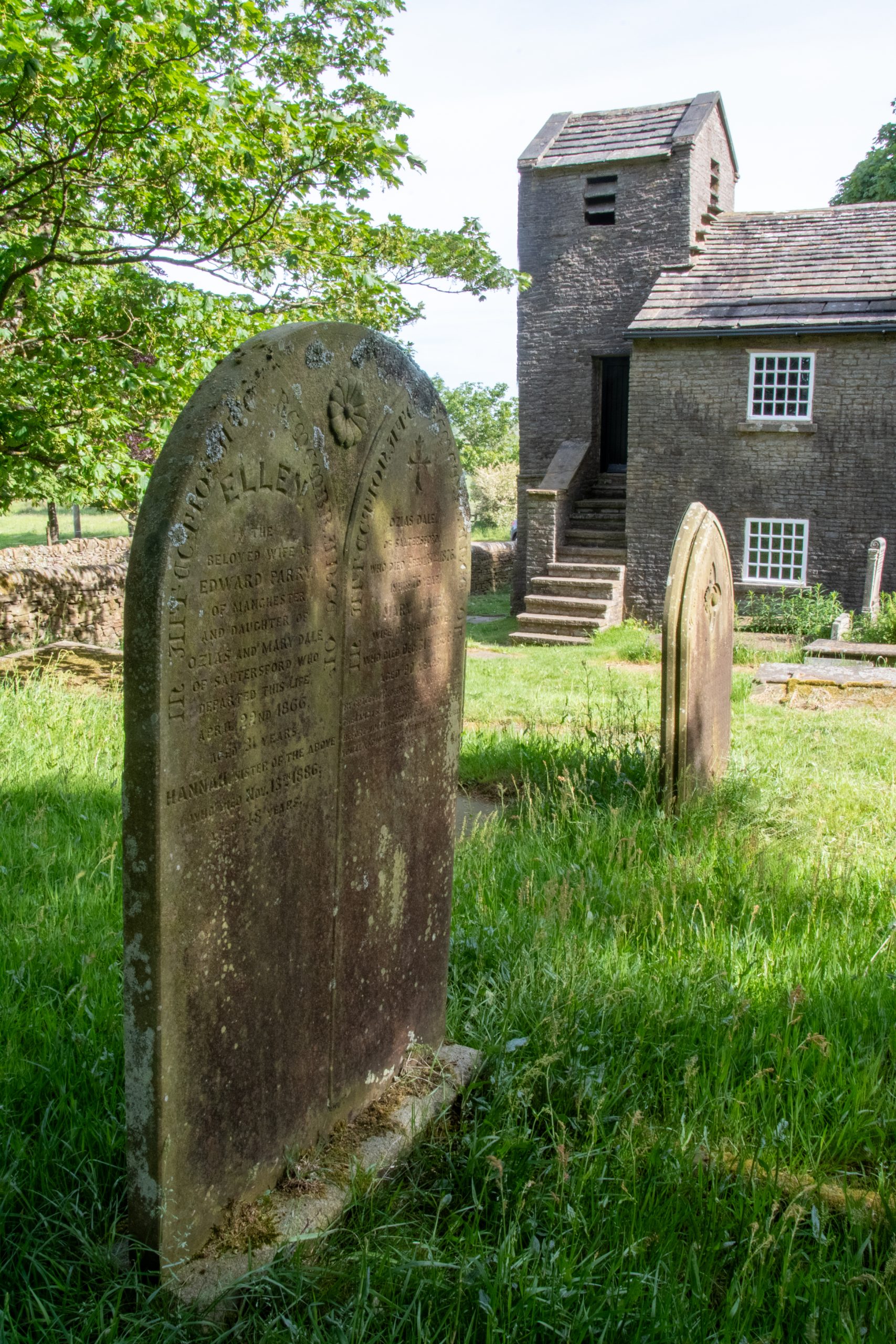
St John’s Church, Jenkin Chapel, Saltersford

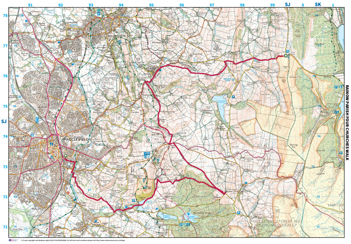
From Jenkin Chapel we headed eastwards by Fox Hill, across Todd Brook to Waggonshaw Brow, where a delightful eighteenth century farmhouse is nestled into the hillside. Continuing eastwards we passed through Common Barn Farm to arrive at Holy Trinity Church, Rainow in time for elevenses. 

Holy Trinity Rainow

The Church Building Acts of 1818 and 1824 saw the provision of money from the British government for the construction of church buildings to cater for the rapidly expanding population of the country, particularly in industrial areas. The distribution of these funds was delegated to the newly formed Church Building Commissioners. Holy Trinity, Rainow was sanctioned by the Commissioners in 1845 with a grant of four hundred pounds, designed by Samuel Howard of Disley and built using locally sourced sandstone by local craftsmen. 
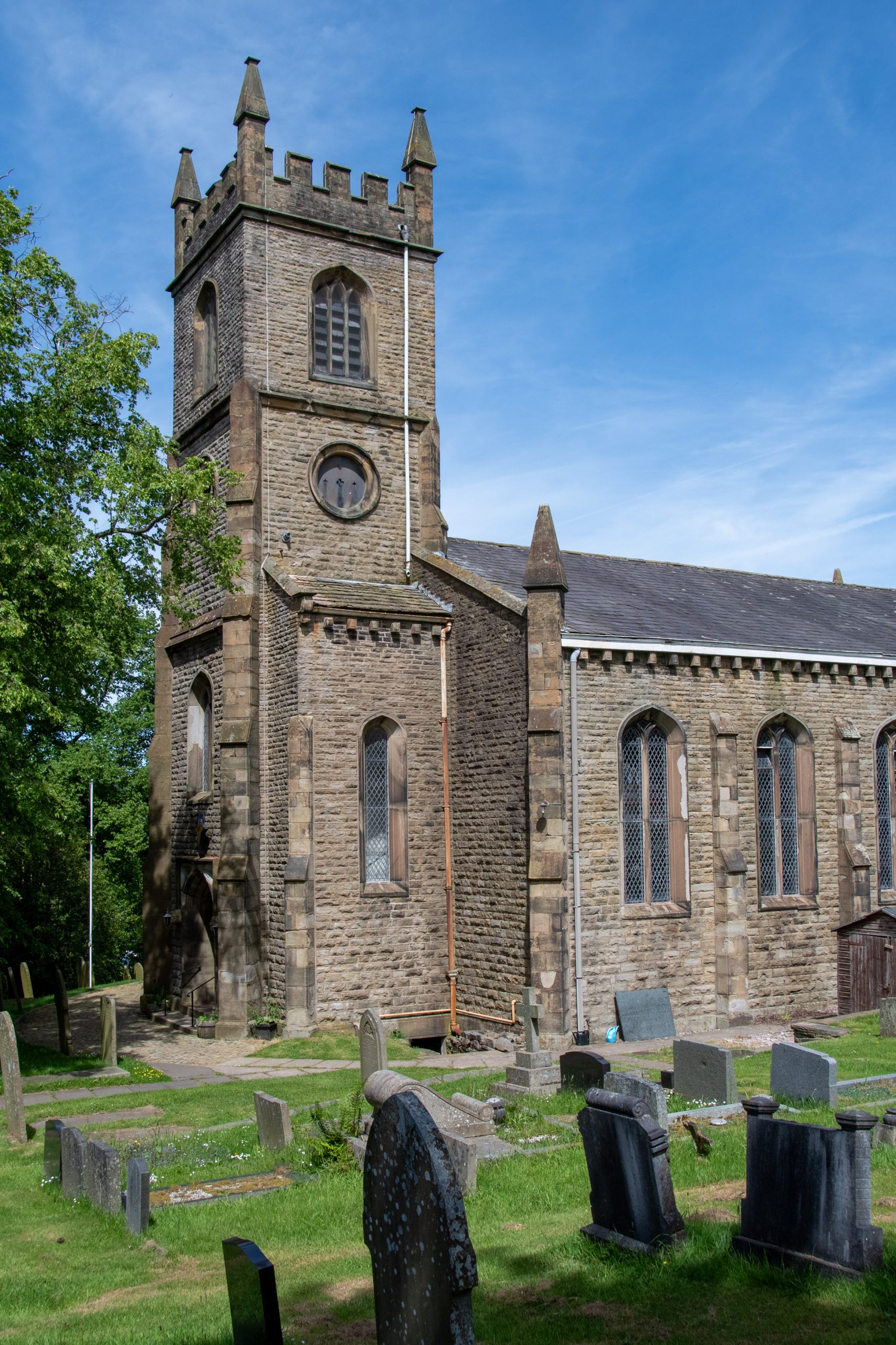
Holy Trinity, Rainow

Today Holy Trinity Church is an important and active part of the local community, with services and groups taking place throughout the week as well as on Sunday (see link below). Annual events include the church fete, incorporating the popular scarecrow competition and a “Late at the Fete” music event, the harvest festival and of course, in Whitsuntide, the four churches walk. 

Bacon rolls, tea and coffee consumed, the group set out from Holy Trinity to the south, following the Gritstone Trail to Horden Farm, thence to via Gulshaw Hollow to Walker Barn and along Charity Lane to the Forest Chapel. 

St Stephen’s Church, Forest Chapel

Records indicate that a chapel was first built in a meadow on the northeast side of Macclesfield Forest in 1673. As with Jenkin Chapel, the original building may have been constructed by the local community of local materials, possibly being non-conformist in origin. It wasn’t until 1720 that the then Bishop of Chester, Rev Francis Gastrell, discovered that the chapel was not consecrated. It has since been under the care of the Anglican Church. The chapel was almost entirely re-built following a fire in 1834. 
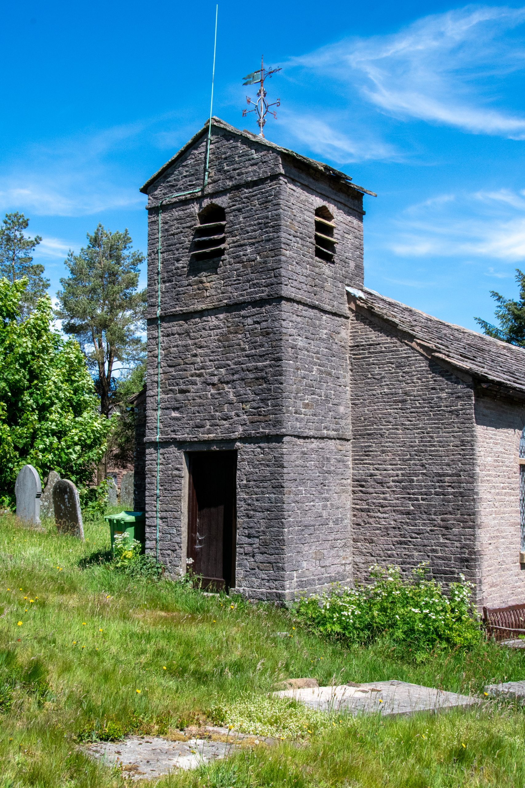
A traditional service of ‘rushbearing’ is held annually on the second Sunday of August. Rushbearing is an historic English ecclesiastical festival where fresh rushes and flowers are collected, carried to the church to be strewn on the floor. The custom originated in the Middle Ages when churches often had earthen floors. The rushes were used as a renewable floor covering and for insulation. As industrialisation brought about an increase in national wealth throughout the eighteenth and nineteenth centuries, it became common for churches to be fitted out with stone floors. Nonetheless in some parts of the country, particularly in rural communities, the tradition of rushbearing persisted. A handful of churches in the north of England have maintained the tradition, among them St Mary’s, Lymm, Cheshire; St Chad’s, Saddleworth, Greater Manchester; St Peter’s, Sowerby Bridge, West Yorkshire, and Forest Chapel. 

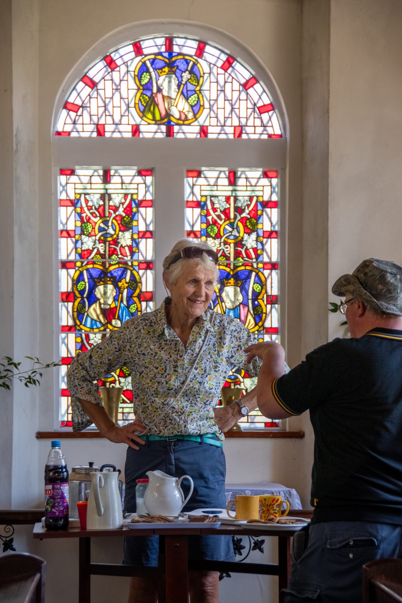
If Napoleon’s army marched on its stomach, then the Church of England surely marches on tea and cake. Ample quantities of both were provided within the sanctuary of St Stephen’s church by the good ladies of the parish for all those who had made it this far on the journey. 

A gentle breeze and the branches of Sitka regimented spruce trees provided welcome relief from the glare of the afternoon sun as the remaining walkers made their way across the northern slopes of Macclesfield Forest to Hacked Way Lane. Passing by Clough House Farm, we skirted around the bottom of Tegg’s Nose to the village of Langley. Resisting all the temptation of St Dunstan’s Inn, we took the footpath from Langley Hall around Birch Knoll to The Hollins and so to the Macclesfield canal. It was a short walk along the canal to the original Hovis mill, and so through the town to St Paul’s Church. 

St Paul’s Church, Macclesfield

As with Holy Trinity, St Paul’s Church on Brook Street was built with the aid of a grant from  the Church Commissioners. Designed by William Heyley in the traditional nineteenth century perpendicular style, the building was completed in 1844.
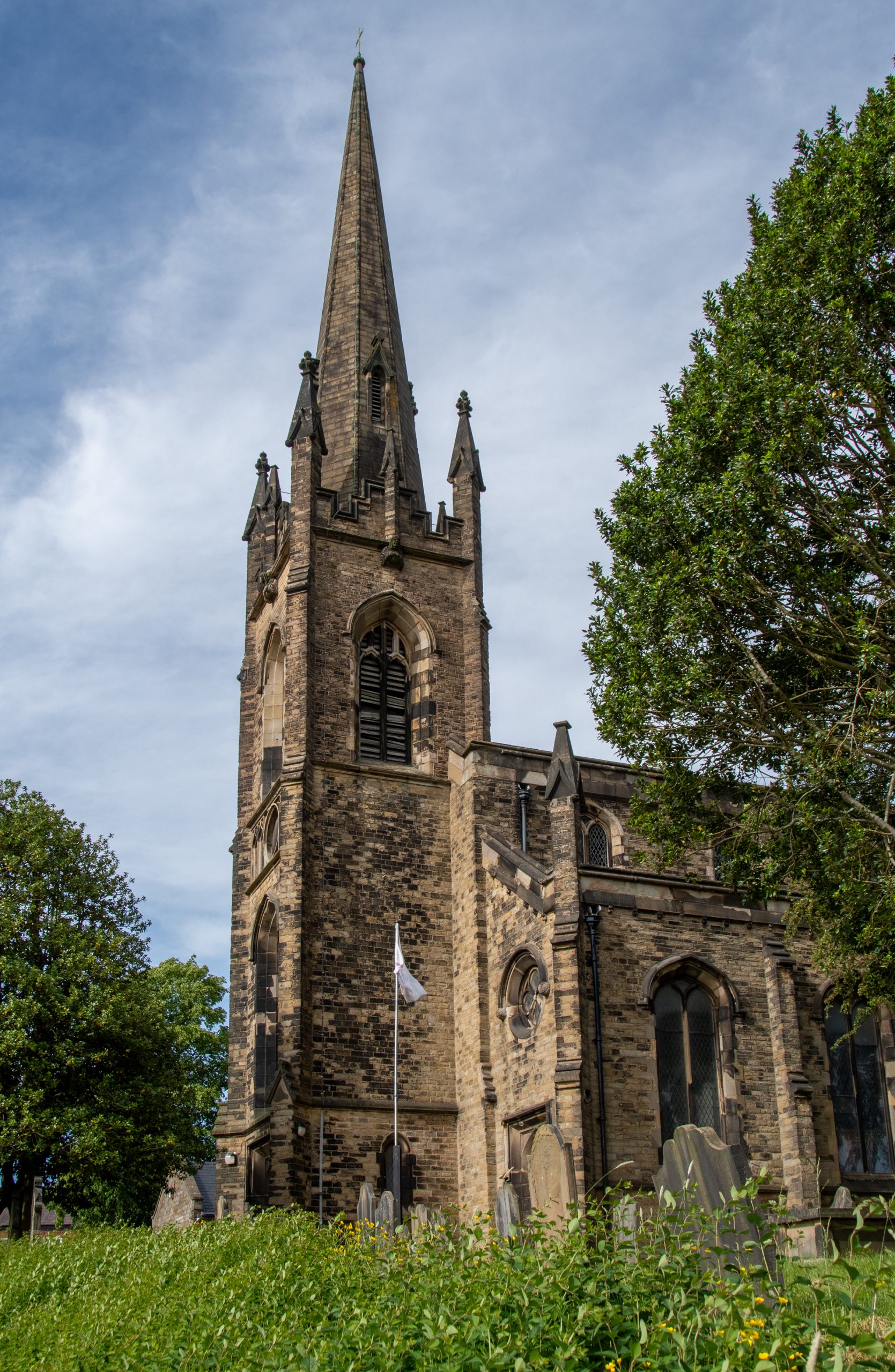
St Paul’s Church, Macclesfield


The modern church is home to a Cheshire East Connected Communities Centre, a hub of activity including uniformed groups for young people, a weekly toddler group, fortnightly lunch club plus a variety of community groups, including Knit and Natter, Pilates, Armchair Yoga and Macclesfield Community Choir. The centre is also a designated Warm Space including a year-round Saturday Morning Café with a team of volunteers offering free delicious Full English Breakfasts and other refreshments, and providing further support and companionship for those experiencing financial challenges (link below).

Thirteen arduous miles behind us, our reward was a slice of Victoria sponge and a mug of hot tea served up in the church hall. 
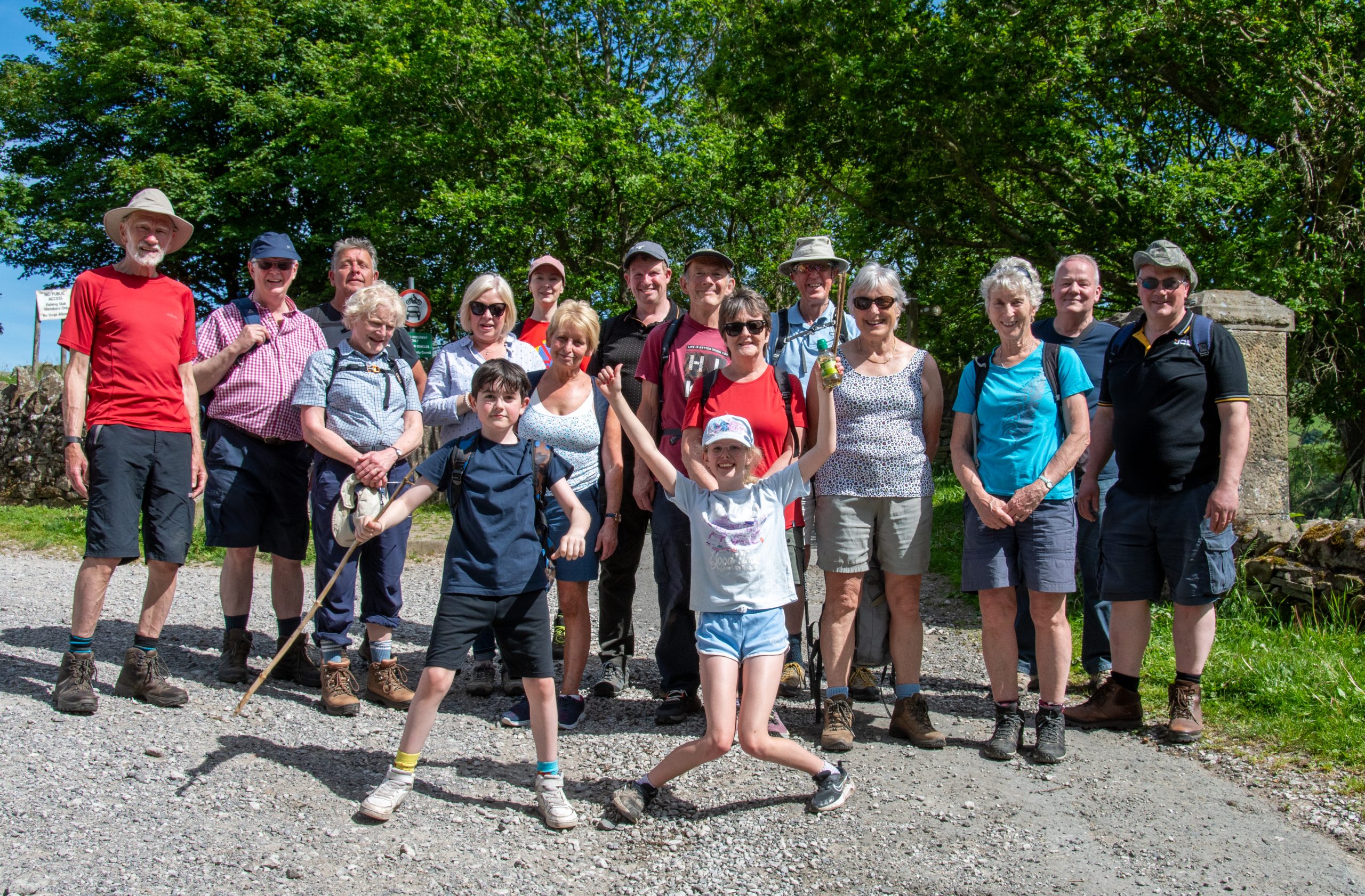
Still chirpy after 13 miles

Route

Pym Chair to St Paul’s Church, Macclesfield

Links

Holy Trinity Church in the Parish of Rainow with Saltersford and Forest: https://www.rainowchurches.org/
St Paul’s Church, Macclesfield: https://stpaulsmacc.org/ 
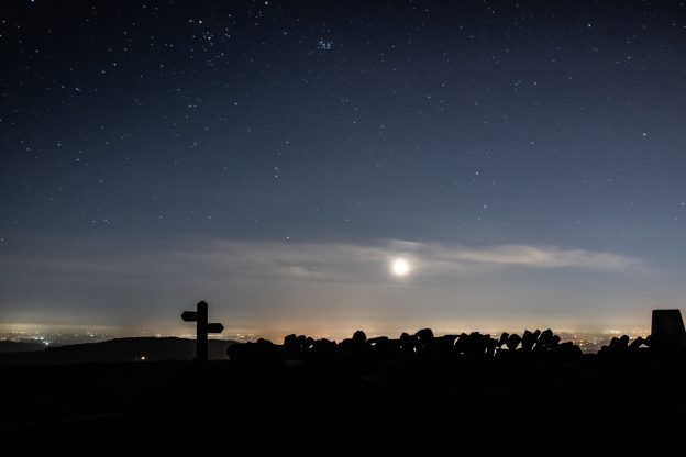
Darkness on the Edge of Town

In the depths of winter lockdown, with gyms & health centres closed, two friends decided to take matters into their own hands.


Summer was a blast! With an early finish from work I could be up on the hills to the east of Manchester before half the city below had finished eating their tea, as the evening meal is often referred to in these parts, with a good three to four hours of daylight remaining.

But as the season drifted inexorably towards autumn the once warm evenings became shorter and cooler. I felt the darkness closing in around me like a pack of hounds circling a fox. With gyms and swimming pools closed there seemed little alternative, and I imagined myself gaining weight, and losing what fragile grip on sanity I had, as the sedentary months of winter stretched before me. 

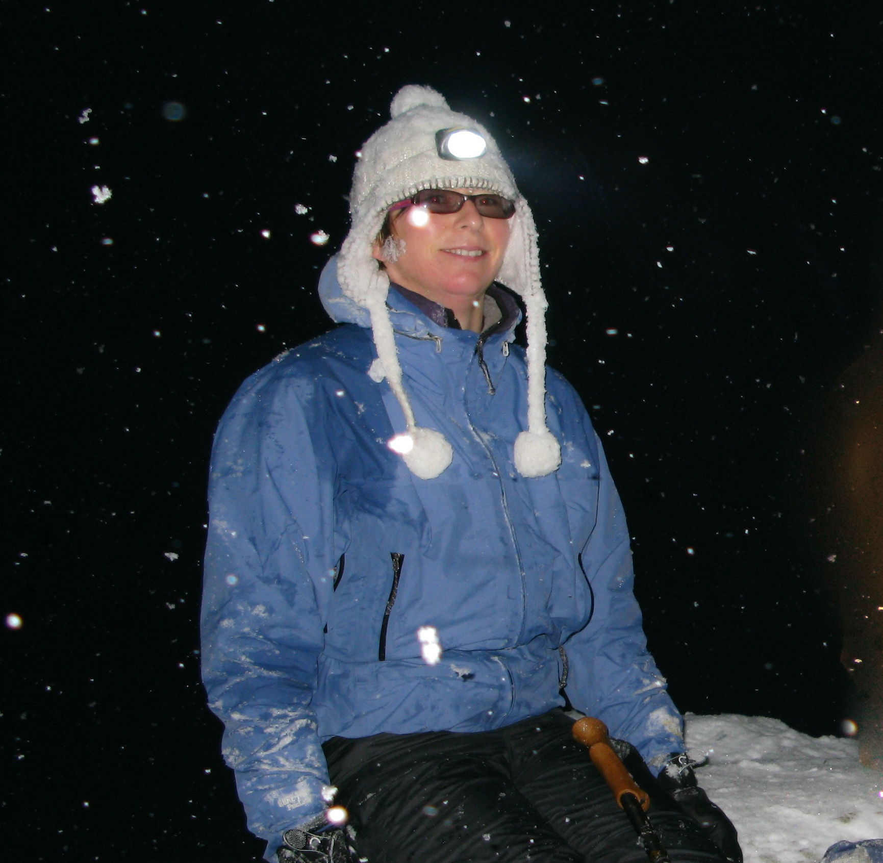
It was Alison who came to the rescue, suggesting a short twilight walk by the River Bollin. When we met at the National Trust car park the last embers of the day and familiarity of the location meant that use of head-torches was a choice rather than a necessity. As we wandered through the crepuscular woodland, the smell of bonfires and cordite upon the air, Alison mentioned she had been doing some research on local trails. She suggested we attempt to complete some of the trails in sections. And so every Tuesday evening after work we set out with head torches and ample supplies of batteries, into the darkness on the edge of town. 

Alison, checking battery levels.

When it comes to nocturnal perambulations, Alison and I have form. Some years ago I learned there was to be a lunar eclipse on the winter solstice. For some reason lost to me now I decided it would be a great idea to observe the celestial phenomenon from the summit of Snowdon. In my imagination I had pictured a pleasant afternoon stroll to the summit in perfect conditions, returning to Pen y Pass beneath the Milky Way. 

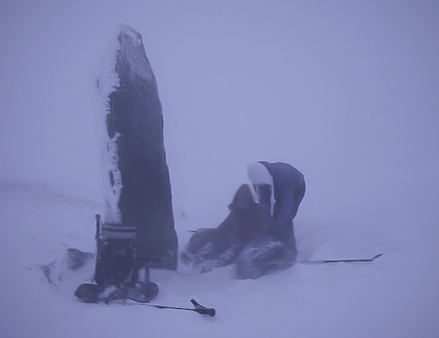
Almost inevitably the Welsh weather had other ideas. By four o’clock in the afternoon, with light rapidly fading, we had made it as far as the obelisk at Bwlch Glas but were at that point forced back by the icy blast of air streaming over the col. Temperatures were so far below zero that my thermos flask completely gave up the ghost, the contents turning into an icy Frappuccino. We quickly descended to Glaslyn and returned to Pen Y Pass via the Miners’ Track. 

Overcoming Night-time Anxiety
The idea of walking in the dark may seem undesirable, illogical or just plain dangerous, but with a little knowledge and preparation there is no reason why the hours of darkness cannot be put to good use.

Location
For those new to night-walking I recommend starting local. The first local trail Alison and I decided to tackle was the Ladybrook Valley Interest Trail. This sixteen kilometre trail makes use of suburban green corridors that follow the Ladybrook, a tributary of the River Mersey, from Lyme Park in Disley, Cheshire to Cheadle in Greater Manchester. Walking on one evening a week and breaking the route up into circular sections it took us five weeks to compete the trail. 

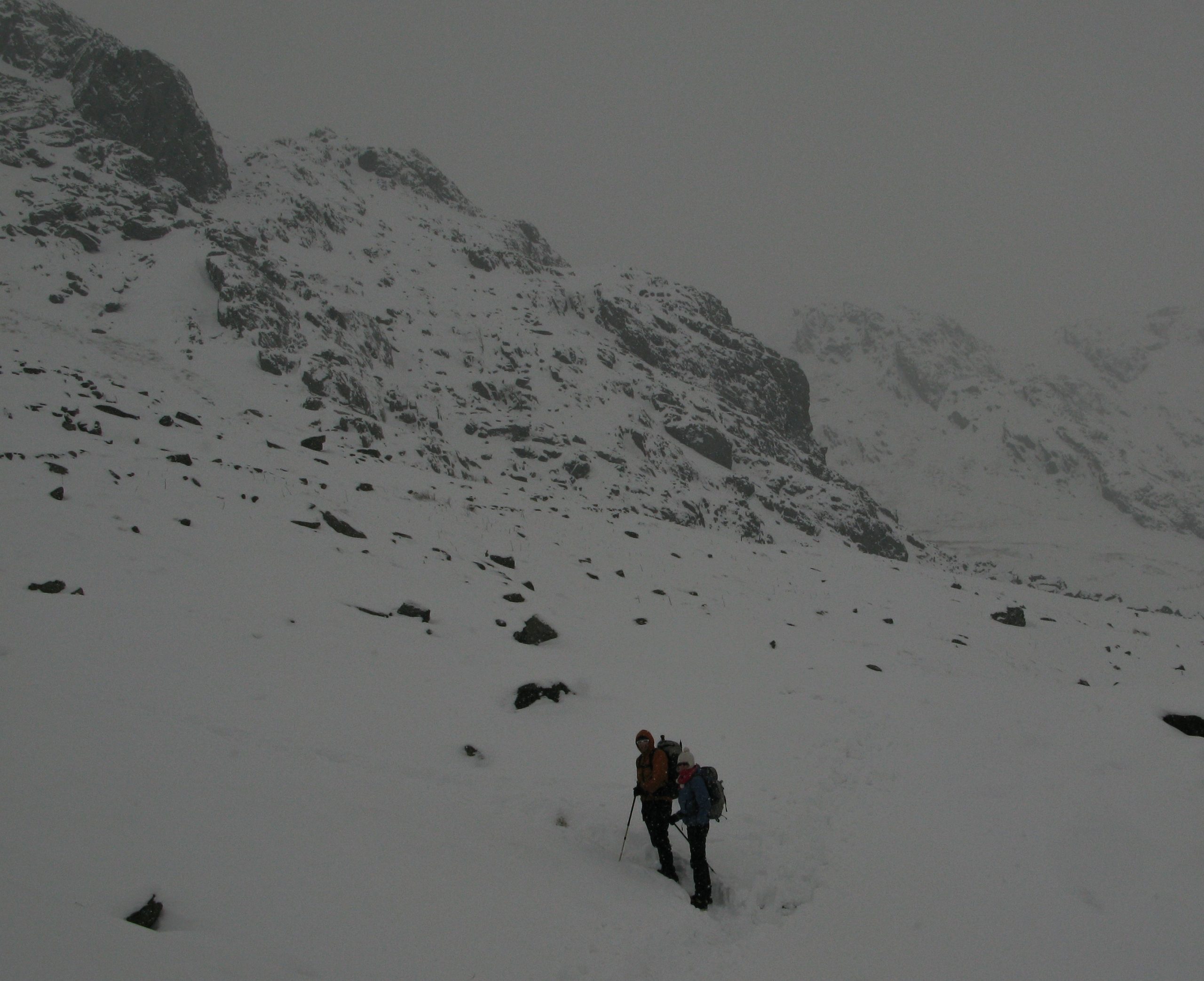
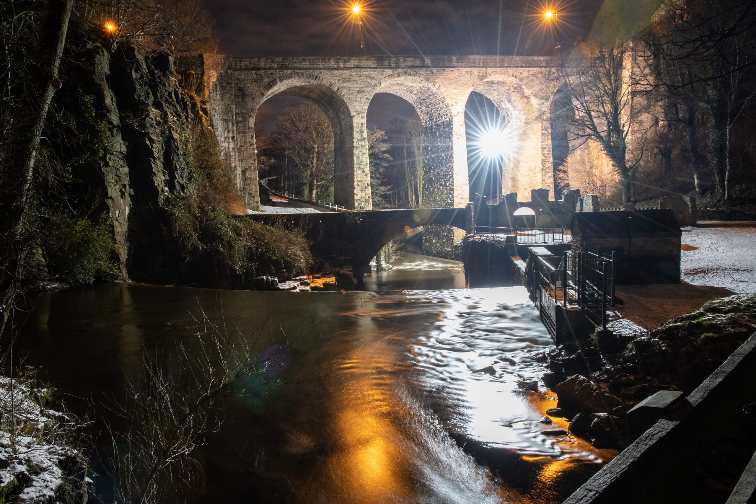
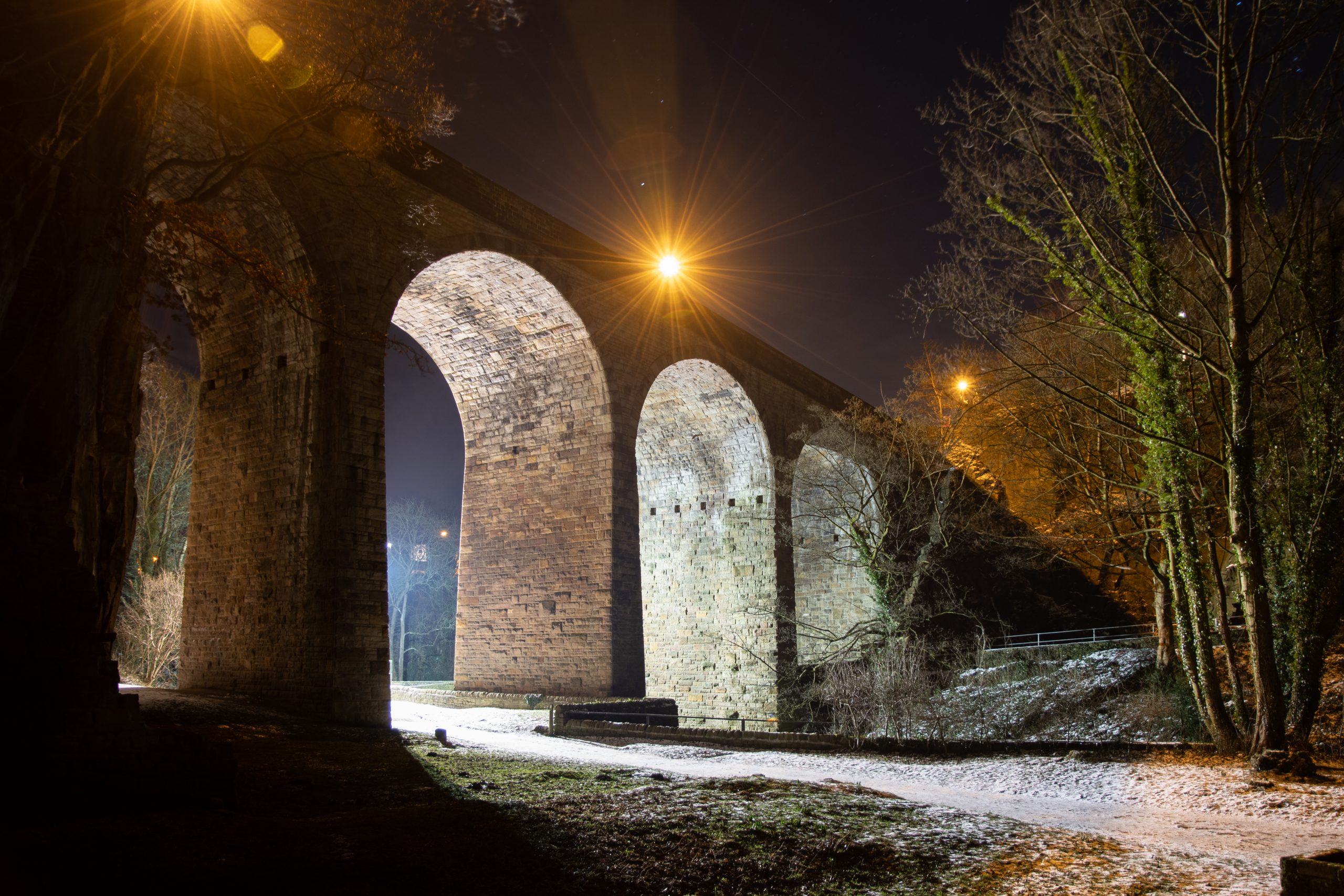
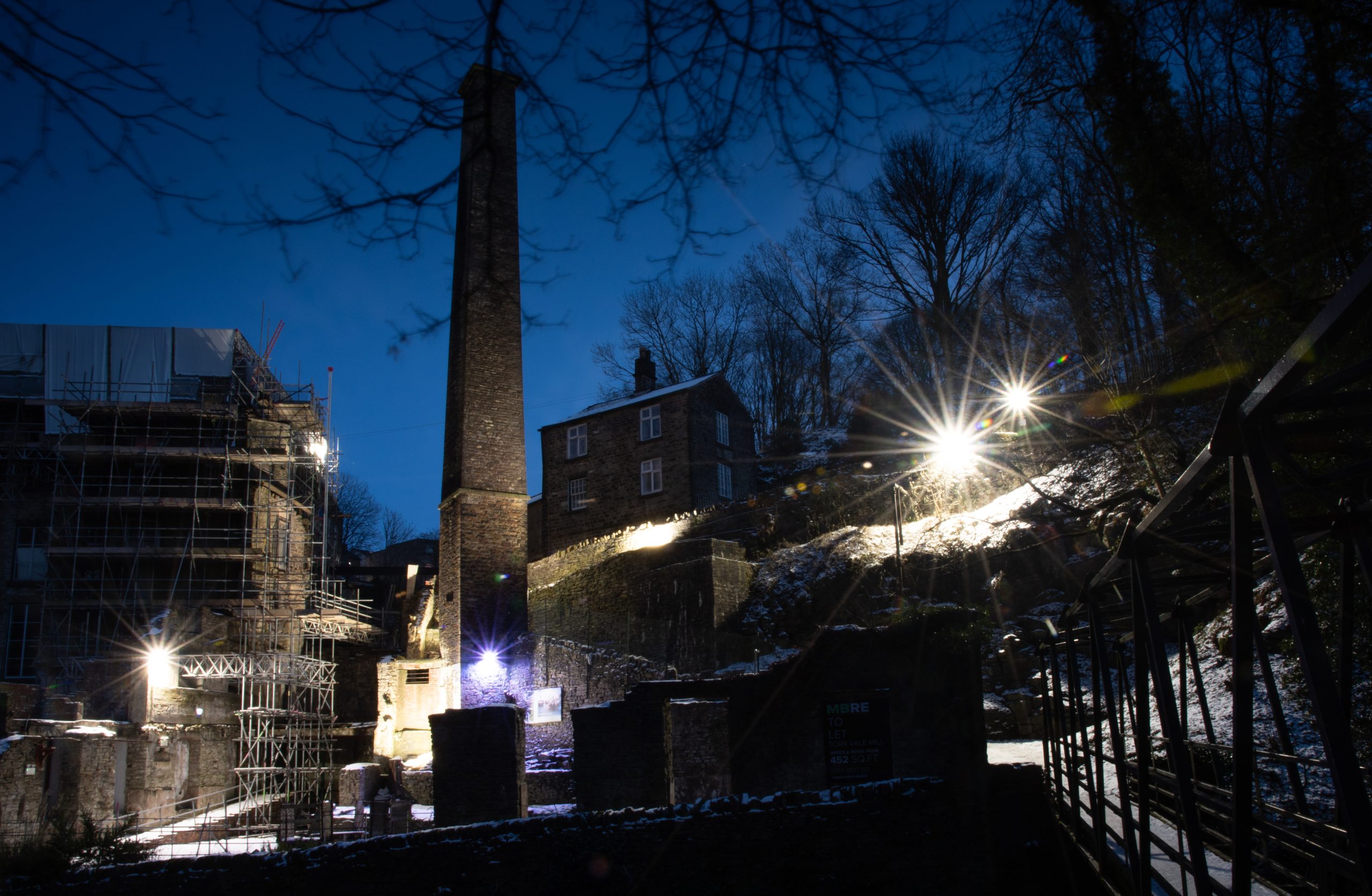
Next we turned our attention to the Goyt Way. Also sixteen kilometres in length the Goyt Way follows the River Goyt – another tributary of the River Mersey – from Whaley Bridge in Derbyshire to Etherow Country Park in Greater Manchester. Again we planned circular routes and completed the trail in four weeks, working our way up-stream passing through the village of Marple Bridge and the industrial town of New Mills, despite freezing temperatures and heavy snowfall. 

Snow cover brings pluses and minuses for night-walking. As with daylight walking snow can hinder navigation by covering up footpaths. None-the-less, we found a blanket of white on the ground had the affect of reflecting ambient light, a considerable aid to navigation, at times rendering our head-torches redundant. Another unexpected bonus of night-walking in winter was seeing farms and villages bedecked with Christmas lights. 

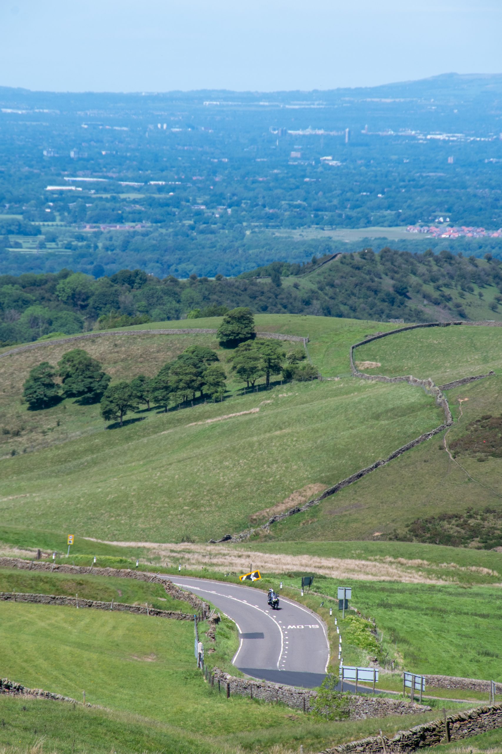
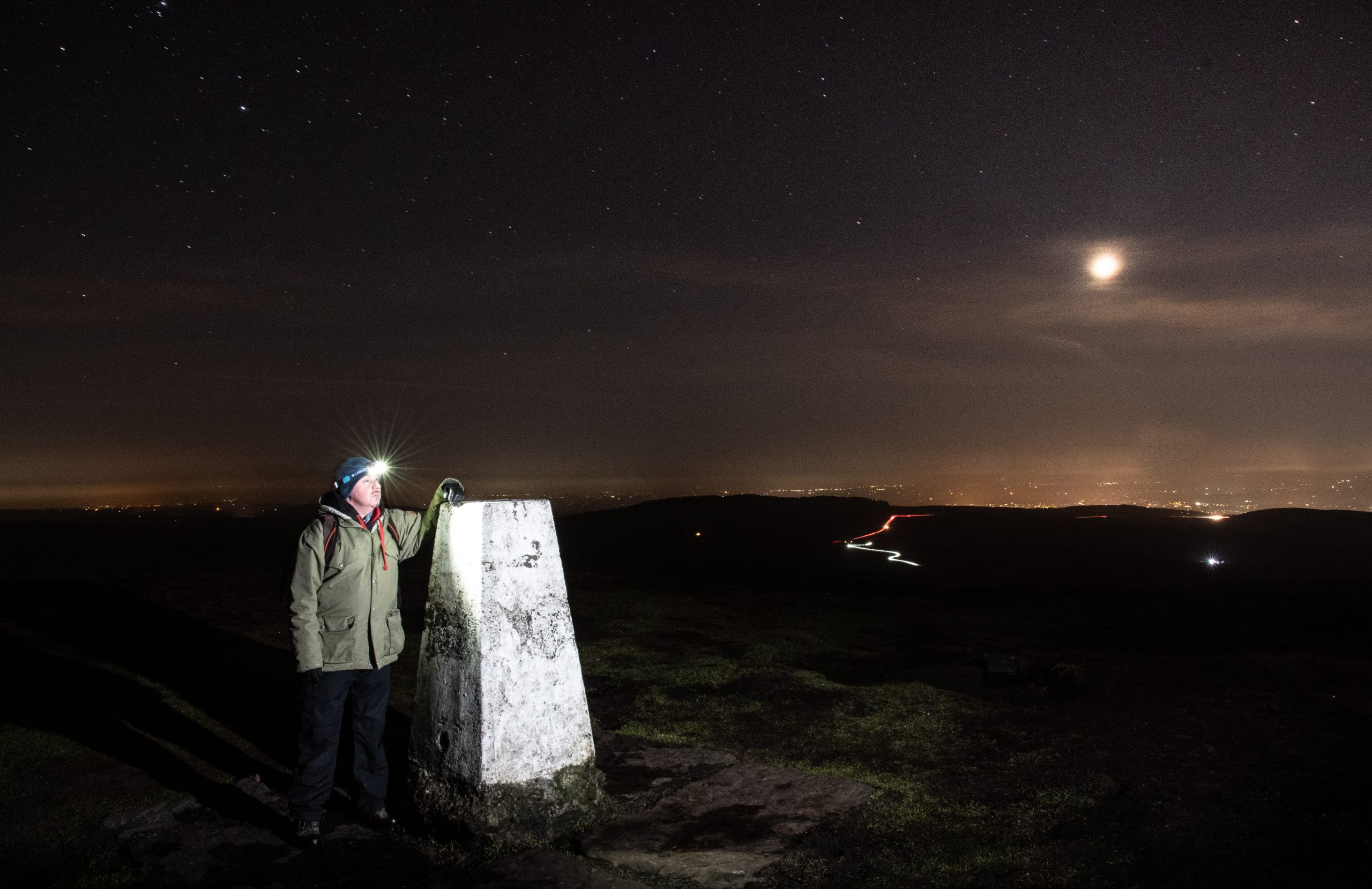
Having reached the official end of the Goyt Way at Whaley Bridge we planned additional routes to continue south into the Goyt Valley, following the former route of the Cromford and High Peak Railway to Bunsal Cob. The sodium lights of suburbia now far behind us we headed onto open moorland, traversing the ridge from Pym Chair to Shining Tor that forms the boundary between Cheshire and Derbyshire. From this vantage point, we looked down onto a million lights, spread out across Greater Manchester and the Cheshire Plain. Through the crystal clear air we could see the illuminated cooling towers at Fiddler’s Ferry Power Station, near Widnes and the distinctive chain of red lights on the television transmitter at Winter Hill, some forty miles away as the crow flies.

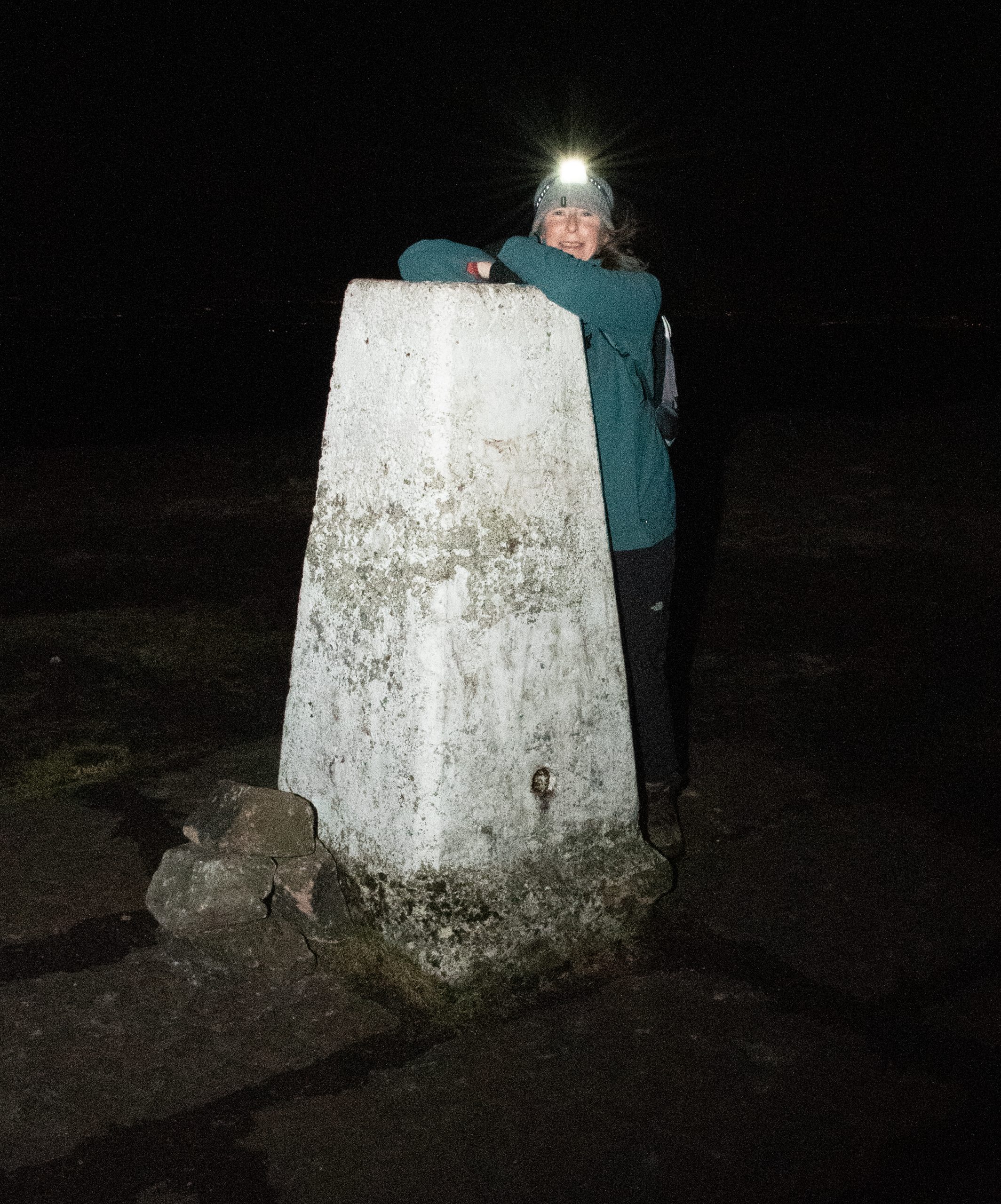
Alison at the trig point on Shining Tor

Navigation
The first step on the path to confident night-walking is to be confident with daylight navigation techniques. The skills used to navigate in poor weather conditions on British hills need only slight adaptation to be as effective at night. 

A number of organisations offer opportunities to learn navigation skills. The National Navigation Award Scheme (NNAS) provides accreditation of over three hundred companies offering navigation training throughout the UK. There are three levels of award: Bronze, Silver and Gold. For those wishing to gain a broader understanding of hill walking, Mountain Training UK & Ireland offer a range of accredited courses and awards. In addition to navigation techniques, Mountain Training courses cover aspects such as walk planning, clothing and equipment, weather, hazard & emergency procedures and environmental awareness. Some of these training courses have specific night navigation content. I would recommend this programme for anyone who is looking to be a walking group leader. For up-to-date information check the NNAS and Mountain Training websites. 

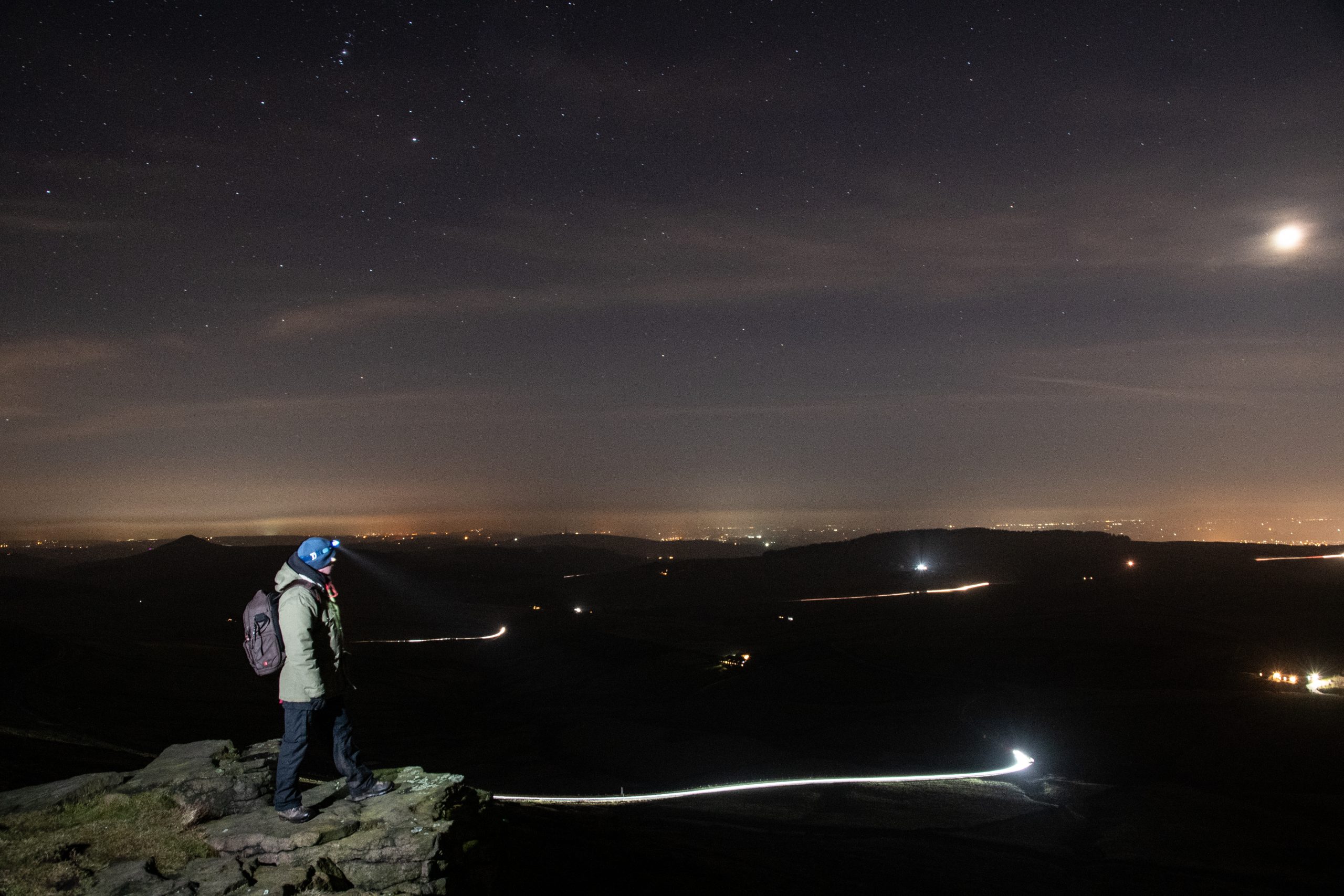
Myself on Shining Tor

Map or GPS?
For a long time I was something of a Luddite with regard to GPS technology, but here we are in the third decade of the twenty-first century, equally cursed and blessed with hand-held devices. I have to confess that much of the navigation on our evening walks was aided by one or two apps on our phones, specifically Viewranger (now known as Outdooractive) and the OS Maps app. However, I would be failing in my duty if I did not offer a strong warning about over dependency on GPS devices. Batteries, specifically lithium batteries, do not perform well in cold weather conditions. As most smart phones are powered by integrated power sources, carrying a spare is not an option. Portable power banks provide some security but it is worth considering that any device might become inoperable in freezing temperatures. You cannot beat having the back up of a paper map and compass. 

Light Source
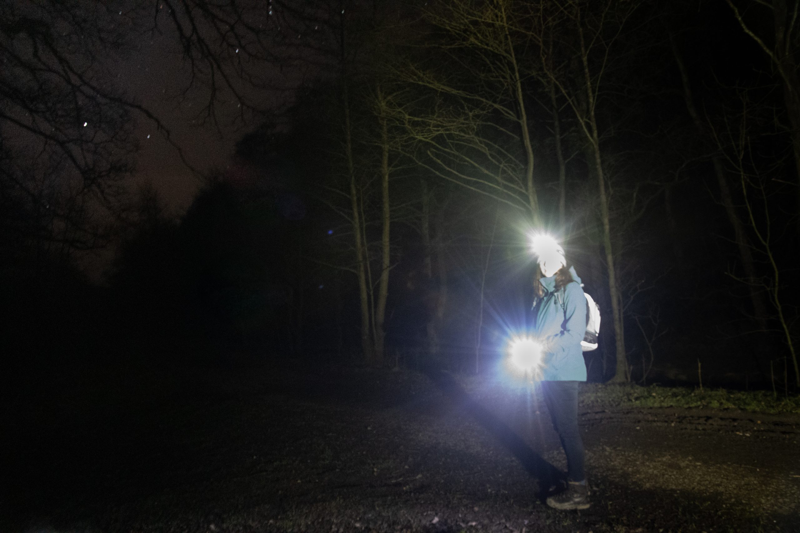
I’ve stressed the importance of carrying a map and compass as back-up for GPS devices, but without a light source a map is unreadable. In order to leave your hands free I recommend using a good quality head torch. However, even modern LED light sources can suddenly die, as happened to me on one of the sections of the Goyt Way. Therefore, not only should you carry spare batteries for your primary light source, but also carry at least one other light source as back up. Most importantly, do not rely on the torch on your phone. If you are using a GPS app on your phone to navigate and the torch to provide a primary light source the battery will deplete in minutes rather than hours.

As exciting as night walking can be, it is important to keep in mind that you are not on manoeuvres with the SAS and as such it is vital that you are visible to others, particularly when making use of country roads. Small, portable lights can easily be attached to clothing and rucksacks. I have found the Silva Simi range, available in white (for front) and red (for rear) particularly useful for this purpose.

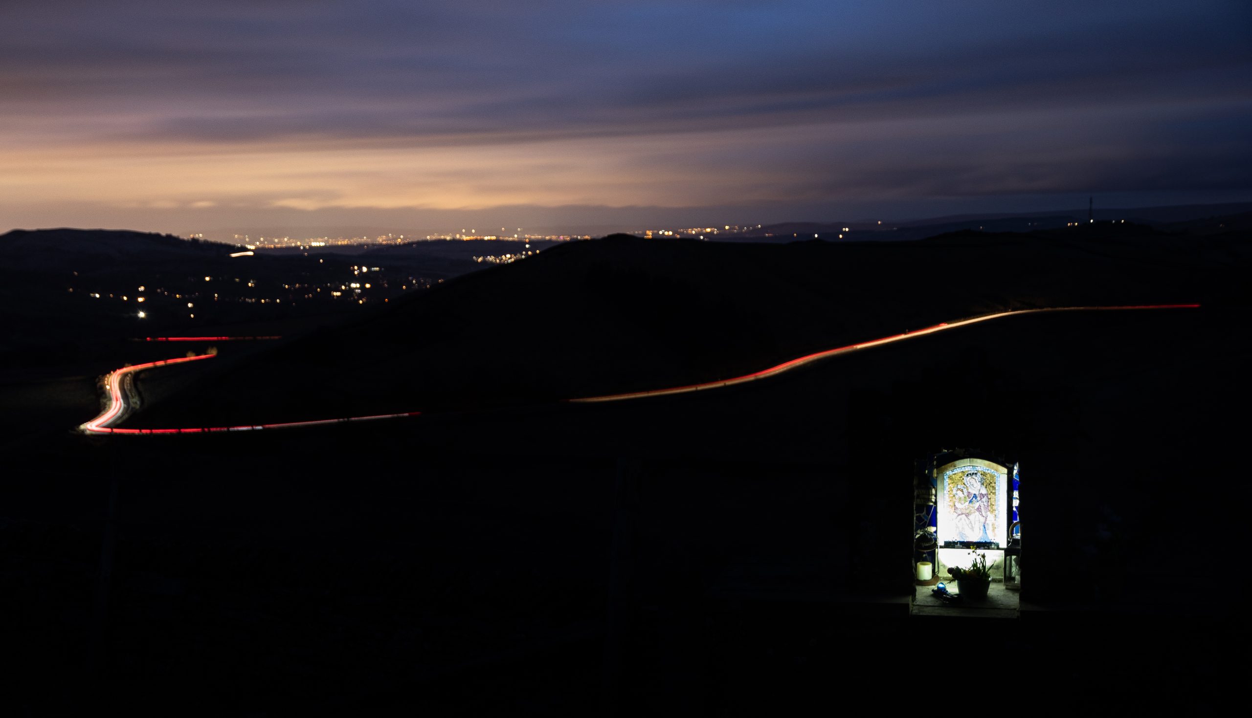
St Mary’s Shrine, above the A5004, Got Valley

Clothing
It will come as no surprise that at any time of year the absence our primary heat source means that nights are invariably several degrees cooler than the daytime. This is especially so in winter when night temperatures regularly fall below zero. The importance of keeping warm cannot be overstated. Traditional advice about base, middle and outer-shell layers certainly applies here. I also recommend carrying additional layers of clothing in your rucksack. Duvet gilets are particularly good for maintaining core temperature and can easily be worn over a waterproof jacket. Similarly, do not rely on only one pair of gloves. Even in thermal gloves, fingers can rapidly become numb when exposed to minus temperatures and wind chill. A pair of oversized woollen mittens slipped over the gloves will quickly return heat to the extremities. 

Well equipped for night walking

Spring Again
Winter was a blast! With increasing confidence of walking in darkness we had taken on the trails and bridleways of the western Peak District and had stood on snow covered hill tops looking down onto the shimmering lights of the conurbation below.

Our weekly nocturnal wanderings had become something of a harbour in the tempest, a focal point in an otherwise dismal and at times seemingly interminable winter. As the days began to lengthen and the last patches of snow melted from the groughs of Kinder Scout, we considered bringing things to an appropriate end. But on reflection there was no logical reason to do so, and our weekly night-time walks became sunset walks. That’s the really amazing thing about the seasons: the cycle just keeps going round and round.